360º VIRTUAL TOURS & INSPECTION SERVICES
Discover the future now: Transform your inspections with 360° virtual tours—get better accuracy, improved safety, and clearer insights.
Reality capture using 360 cameras revolutionizes virtual tours and inspections by providing immersive, accurate, and comprehensive views of spaces and objects. This technology allows users to explore environments remotely with a sense of presence, enhancing engagement and decision-making. For inspections, it offers precise documentation from multiple angles, reducing the need for physical visits and minimizing risk. Additionally, 360-degree imagery accelerates project timelines by enabling instant access to up-to-date visual data, improving collaboration across teams and stakeholders. Ultimately, integrating 360 cameras into reality capture transforms how businesses present, analyze, and interact with their physical assets, driving innovation and efficiency in various industries.
Data Acquisition
-

Insta360 X4
The Insta360 X4 revolutionizes reality capture by delivering ultra-clear 360-degree imaging combined with advanced FlowState stabilization technology, ensuring impressively smooth and professional-quality footage. Designed to be both waterproof and highly durable, it performs exceptionally well in a wide range of challenging environmental conditions. Its powerful AI-driven editing capabilities significantly accelerate the creation of virtual tours and detailed inspection reports. Compact and incredibly user-friendly, this device is perfectly suited for sophisticated aerial and terrestrial spatial data capture, making it an essential tool for cutting-edge geospatial applications.
-

DSLR + Mobile
DSLR and mobile/iPhone cameras play a crucial role in reality capture for virtual tours and inspections, offering versatile and accessible imaging solutions. DSLR cameras provide high-resolution images with superior lens control and dynamic range, making them ideal for capturing detailed, professional-quality visuals in complex environments. Meanwhile, mobile and iPhone cameras, equipped with advanced sensors and computational photography capabilities, allow for quick, on-the-go capture with ease of sharing and integration into digital workflows. Combining these tools enhances accuracy and flexibility in creating immersive virtual experiences and comprehensive inspection reports, meeting the demands of various industries efficiently.
-

Robots + Stationary Cameras
Utilizing robots and stationary cameras for reality capture significantly enhances the efficiency and accuracy of inspections and virtual tours. Robots equipped with advanced sensors can access hard-to-reach or hazardous areas, providing detailed data without risking human safety. Stationary cameras offer continuous monitoring and high-resolution imagery, enabling comprehensive documentation and real-time analysis. Together, these technologies create precise 3D models and immersive virtual experiences, reducing project timelines, minimizing errors, and improving decision-making across industries such as construction, infrastructure, and environmental management. This innovative approach ensures thorough, cost-effective, and scalable solutions for modern reality capture needs.

Data Processing & Analysis
-

360º Int. & Ext. Walkthroughs
Performing 360-degree interior and exterior walkthroughs revolutionizes the way construction, inspection, and insurance professionals document and analyze spaces. Utilizing advanced reality capture technology, these immersive walkthroughs provide comprehensive, high-resolution visuals that enable stakeholders to virtually explore every angle of a property or project site. This approach enhances accuracy in progress tracking, facilitates precise damage assessment for insurance claims, and streamlines inspections by capturing intricate details often missed by traditional methods. By delivering a dynamic, interactive experience, 360-degree walkthroughs improve communication, reduce errors, and accelerate decision-making throughout the project lifecycle.
-

High-Res Panoramic Photo & Video
High-resolution panoramic photos and videos captured using 360 cameras provide an immersive and detailed view essential for 360 tours and inspections. These visuals allow users to explore environments with complete spatial awareness, offering a seamless, interactive experience that traditional images cannot match. The advanced resolution ensures every detail is crisp and clear, enabling precise assessments during inspections and enhancing the storytelling in virtual tours. By integrating this technology, industries such as real estate, construction, and infrastructure benefit from more accurate documentation and efficient remote evaluations.
-

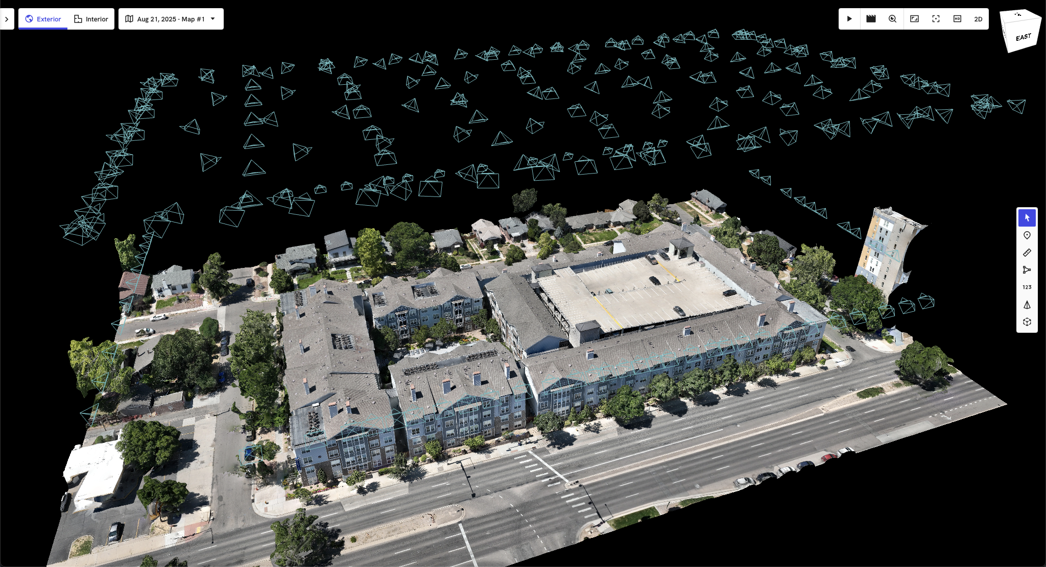
Seamless Integration w/ Aerial Data
360 image data seamlessly integrates with other geospatial data in DroneDeploy to create a comprehensive and cohesive view of an asset or location by combining immersive visual perspectives with precise spatial information. This integration allows users to overlay detailed 360-degree imagery onto orthomosaic maps, elevation models, and point clouds, enhancing situational awareness and decision-making accuracy. By synchronizing these diverse data layers within a single platform, stakeholders gain an expansive, multidimensional understanding of the site, enabling more effective inspections, planning, and asset management across various industries.
