
THE PROAERIAL MEDIA BLOG
Precision Reality Capture: Revolutionizing Construction
The global construction industry, a vital foundation of development, is continuously evolving. It consistently seeks innovative methods to boost efficiency, improve accuracy, and foster seamless collaboration. This ongoing pursuit has led to a truly transformative process that is reshaping the industry. Precision Unified Reality Capture.
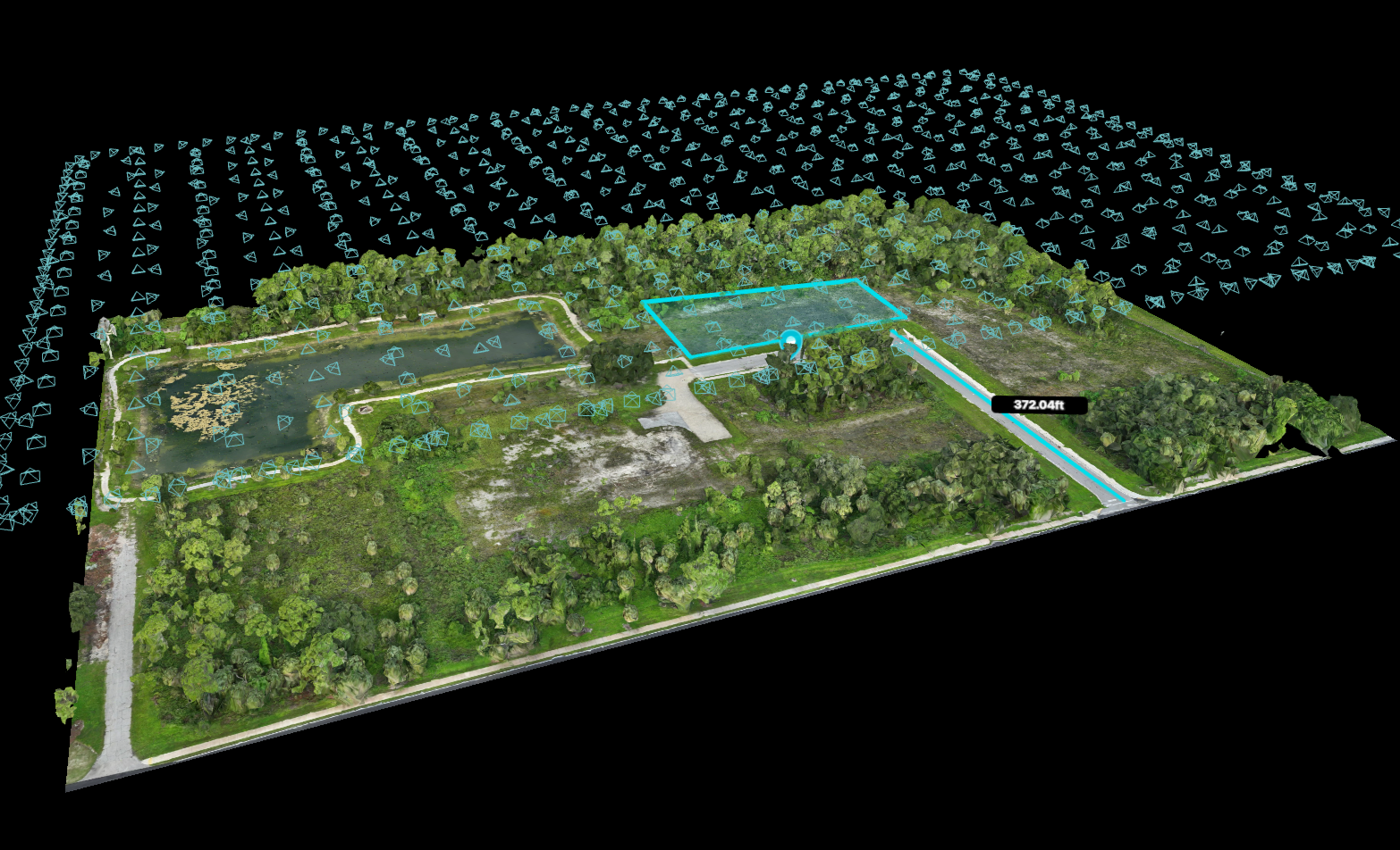
Unified Reality Capture and Remote Sensing Explained
Discover how reality capture and remote sensing digitize and monitor our physical world, and our transforming industries with powerful and actionable data.

Drone Aerial Asset Inspection of Critical Infrastructure
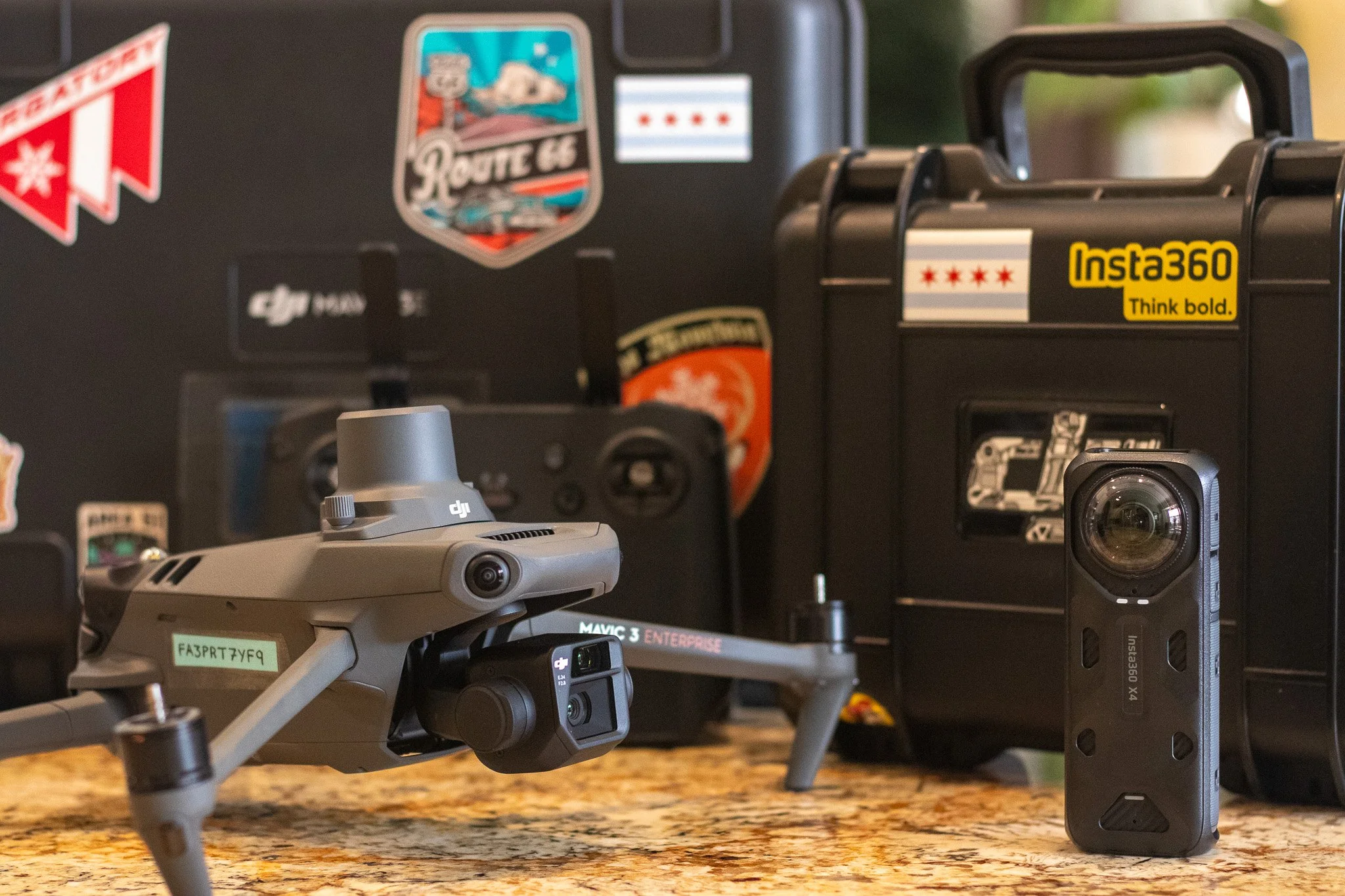
Asset inspection is a critical aspect of infrastructure maintenance and safety. It involves the regular examination of physical assets to assess their condition and functionality. Traditionally, this process has been manual, time-consuming, and often risky. But with the advent of drone technology, a new era of aerial asset inspections has emerged.
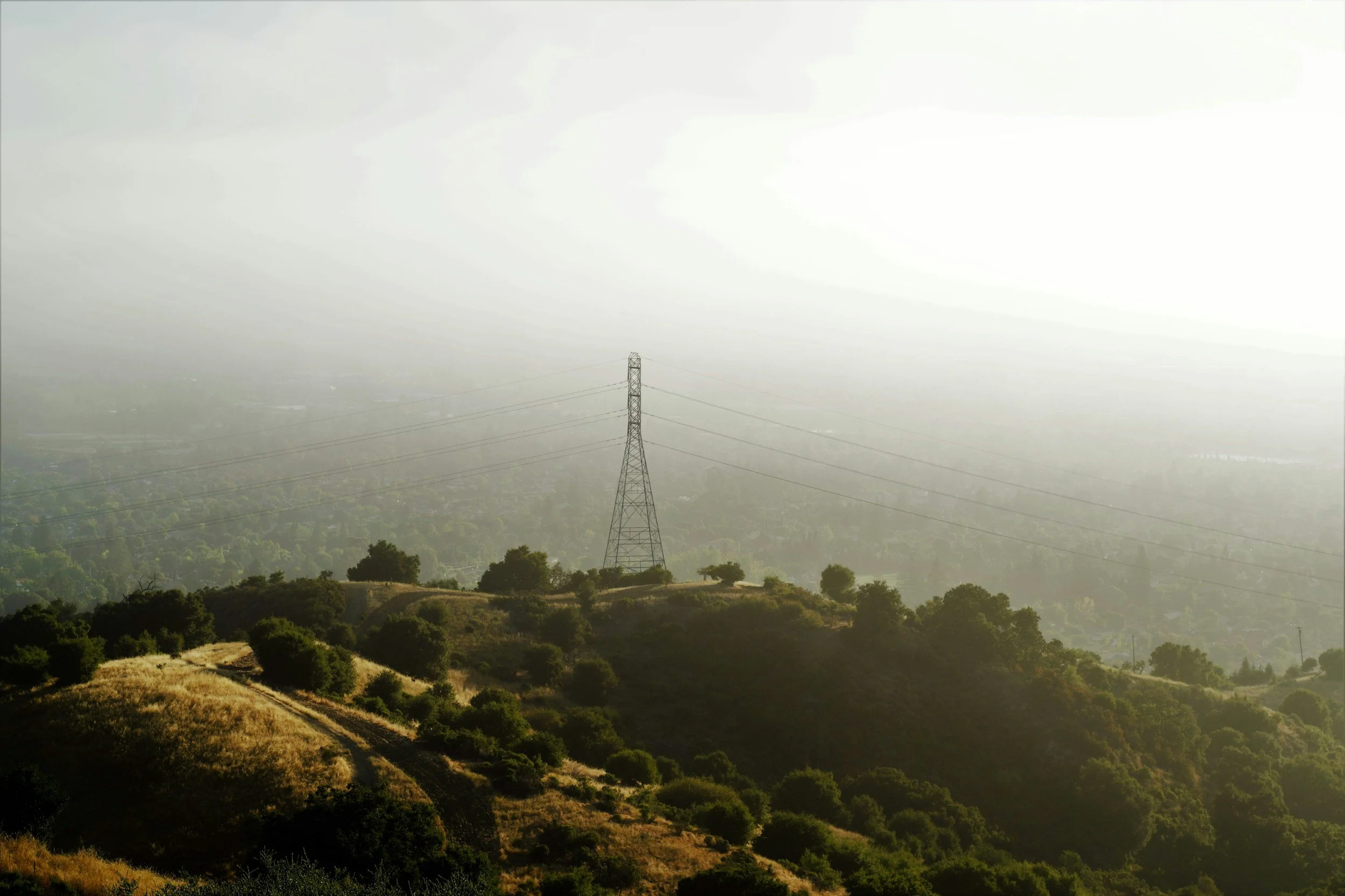
Drone Power Line Inspections: Cost & Safety Benefits
Power line inspections are critical to maintaining a reliable electricity supply. Traditionally, they have been time-consuming, costly, and fraught with safety risks. That was in the past.
Today, drones are revolutionizing the way power line inspections are conducted. They offer a safer, more efficient, and cost-effective alternative to traditional methods. This article will explore the benefits of drone power line inspections, including how they can significantly reduce costs and enhance safety.
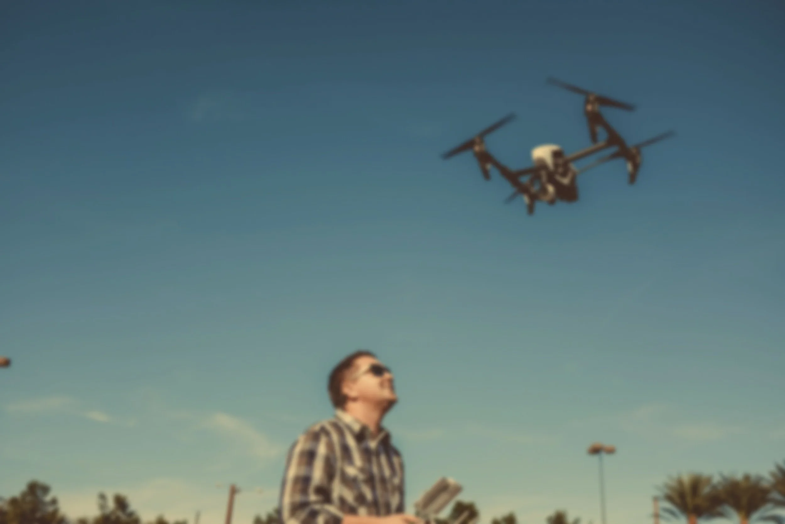
FAA Part 107 Training Course for Drone Pilots: Best Features
The world of drones is expanding rapidly. They're not just for hobbyists anymore. Businesses are now harnessing the power of drone technology. It's transforming industries from real estate to solar energy. But to fly a drone commercially, you need to be certified. That's where the FAA Part 107 Training Course comes in.

How Difficult is the FAA Part 107 Exam? (w/ Sample Questions)
The FAA Part 107 exam is a critical step for anyone looking to operate drones commercially. It's a comprehensive test that covers a range of topics, from airspace classification to weather patterns.
So, “How hard is it to get your FAA 107?”, you ask.
Professional Drone Real Estate Photography in Durango, CO
In the competitive real estate market of Durango, CO, standing out is crucial. One way to achieve this is through professional aerial photography. Drone photography offers a unique perspective. It captures stunning aerial views that can highlight the best features of a property.
But it's not just about aesthetics. Drone photography can also be a powerful tool for small business owners and asset managers.

The Best UAV Aerial Mapping Company in Utah: PAM
Aerial mapping, powered by drones ( or Unmanned Aerial Vehicles UAVs), is transforming business operations by providing unprecedented access to high-quality data. From enhancing marketing strategies for small businesses to streamlining project management for large-scale endeavors, aerial mapping offers a valuable tool for improving efficiency and effectiveness across various industries.