AERIAL PHOTOGRAPHY & VIDEOGRAPHY SERVICES
Elevate Your Perspective: Stunning Aerial Photos and Video That Transform Reality into Art and Insight
Aerial photography and videography elevate storytelling by offering unique perspectives that ground-level shots simply cannot achieve. From showcasing expansive landscapes for real estate and construction projects to capturing dynamic footage for marketing campaigns and creative productions, aerial imagery provides clarity, scale, and context. These advanced techniques not only enhance visual appeal but also offer practical benefits such as detailed inspections, progress monitoring, and geospatial data collection. By harnessing cutting-edge drone technology and precise terrestrial capture, you can transform your ideas into compelling visual narratives that engage audiences and drive results across various industries.
Aerial Photography
-

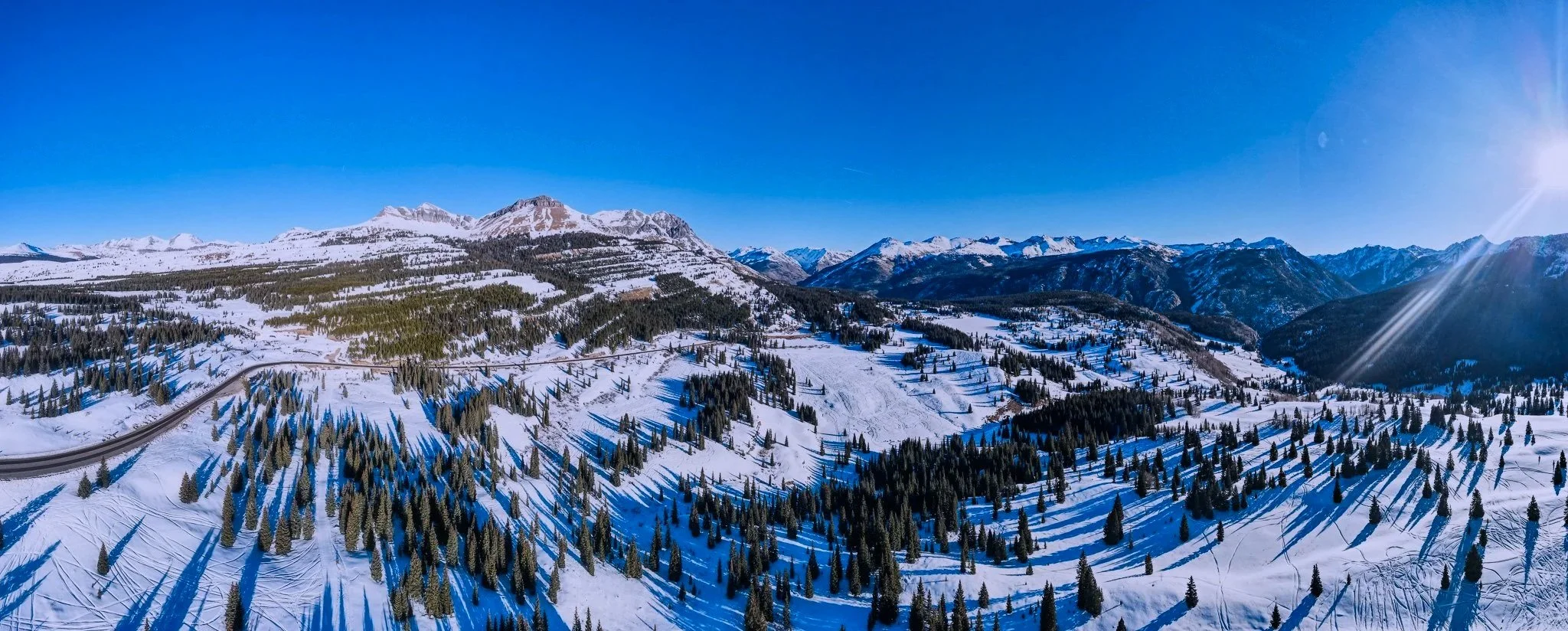
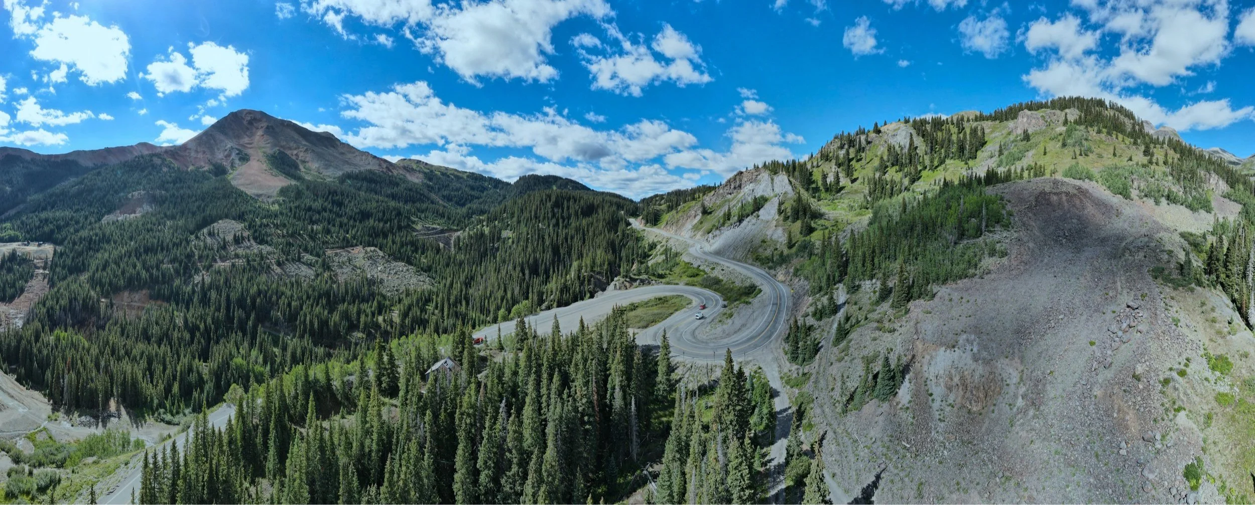
Construction + Infrastructure
Aerial photography transforms construction and infrastructure by delivering precise site data from above. It enables real-time progress monitoring, accurate volume measurements, and early hazard detection for improved safety. High-resolution images integrated into 3D models and geospatial maps help optimize planning, reduce errors, and enhance team collaboration, leading to faster decisions and greater project efficiency.
-

Real Estate + Marketing
Aerial photography transforms real estate and marketing with dynamic visuals showcasing properties from unique angles. It highlights landscaping, amenities, and size, helping buyers see potential beyond traditional photos. For marketing, aerial imagery boosts storytelling, attracts audiences, and provides spatial context, driving faster sales and stronger brand distinction.
-

Environmental Monitoring + Conservation
Aerial photography is crucial for environmental monitoring, capturing detailed images of vast, inaccessible areas. It tracks ecosystem changes, deforestation, wetlands, and wildlife habitats. Paired with geospatial analysis, it aids conservationists in decision-making, evaluating protection, and responding to threats, accelerating habitat restoration and sustainable resource management.
-
Insurance + Risk Assessment
Aerial photography transforms insurance by delivering high-resolution imagery for precise property and asset evaluation. It helps insurers quickly identify hazards, assess disaster damage, and accurately monitor risks. Using advanced aerial data, companies streamline claims, reduce fraud, and improve underwriting, boosting risk management and customer service.
-

Agriculture + Land Managent
Aerial photography transforms agriculture and land management by offering detailed, high-resolution views for precise monitoring of crops, soil, and irrigation. Drone and aircraft images help detect problems early, optimize resources, improve yield forecasts, and support sustainable practices with accurate, timely data.
-
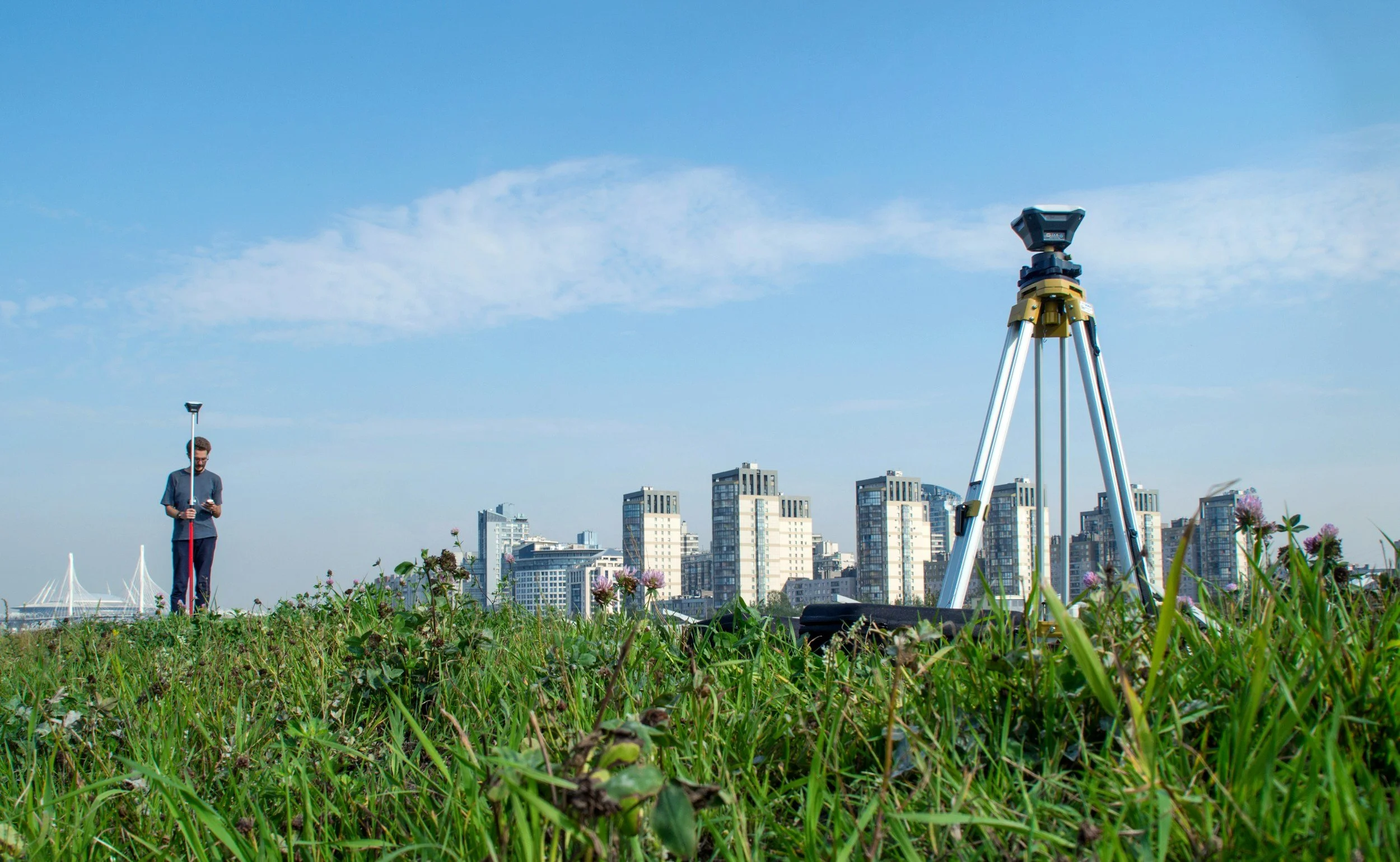
Mapping + GIS
Aerial photography transforms mapping and GIS by offering high-resolution, accurate aerial data. It enables precise terrain analysis, land planning, and infrastructure monitoring, delivering timely insights that improve decisions. ProAerial Media’s advanced aerial capture ensures top accuracy and efficiency, advancing geospatial mapping and 3D modeling.
-
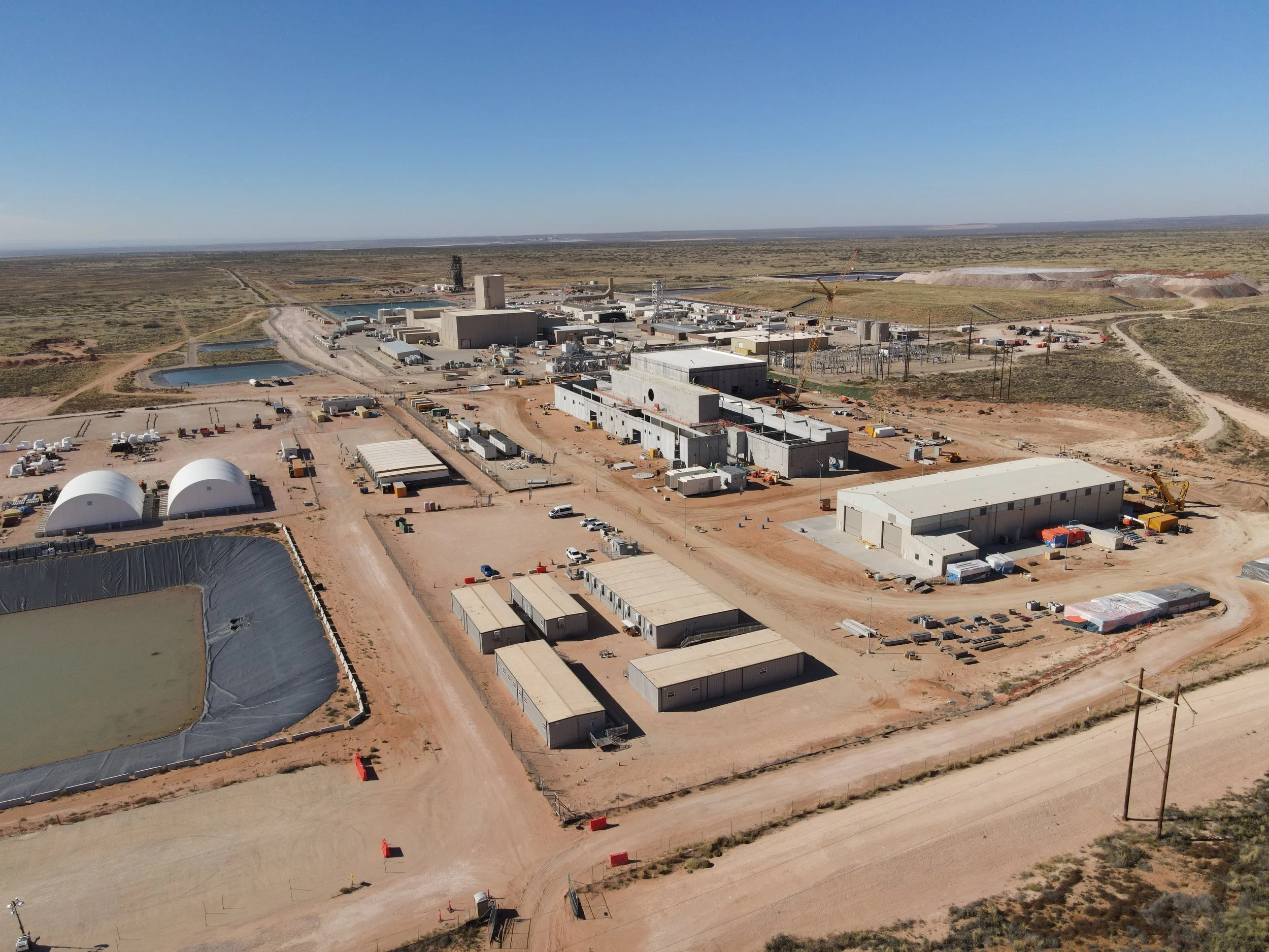
Mining, Oil & Gas
Aerial photography transforms mining and oil & gas by providing precise, high-res imagery for site analysis, resource mapping, and environmental monitoring. It enables safer, faster inspections of infrastructure and tough terrain, reducing downtime. Advanced aerial data boosts decision-making, optimizes resources, and ensures compliance, enhancing efficiency and innovation in exploration and extraction.
-
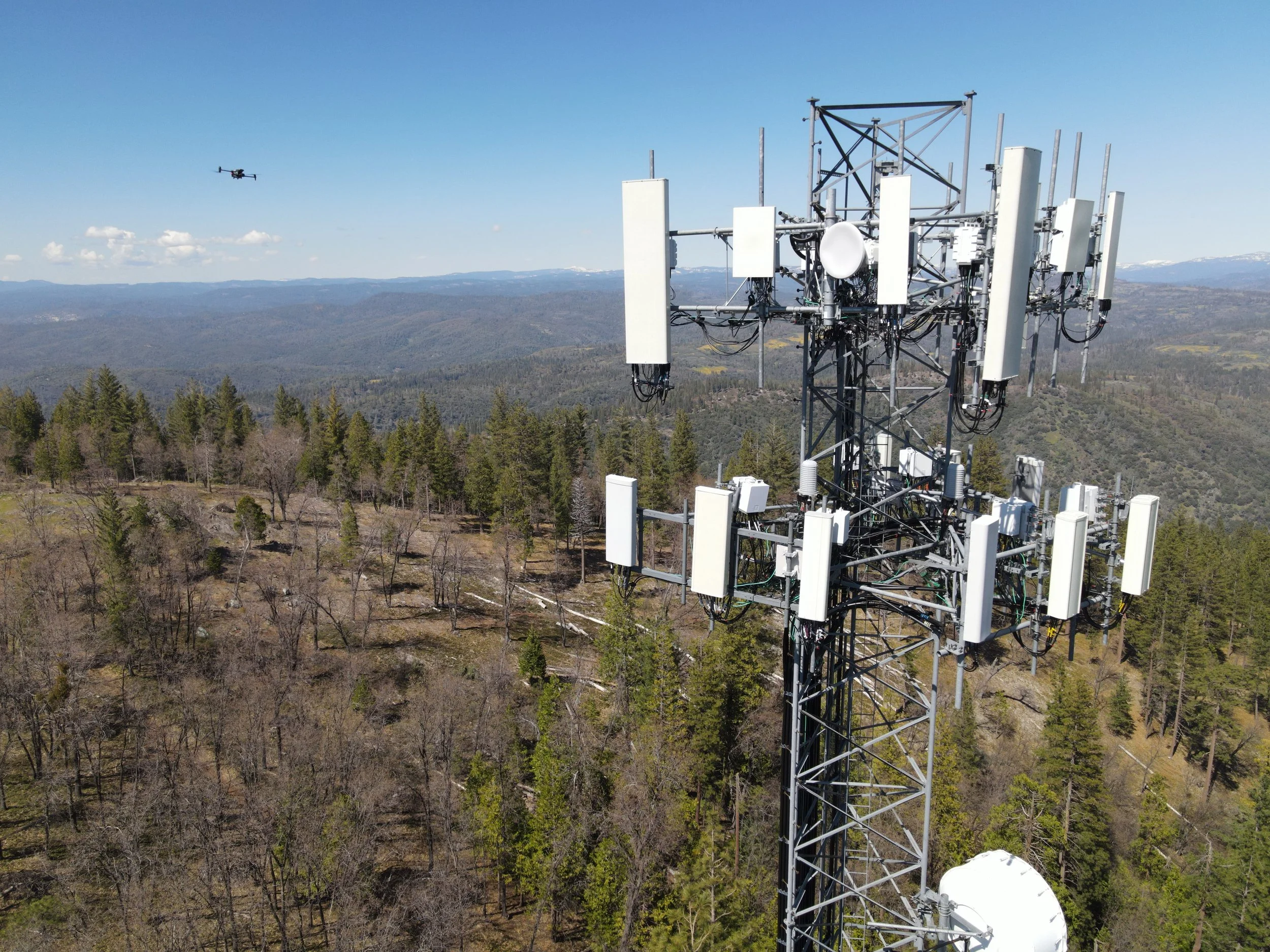
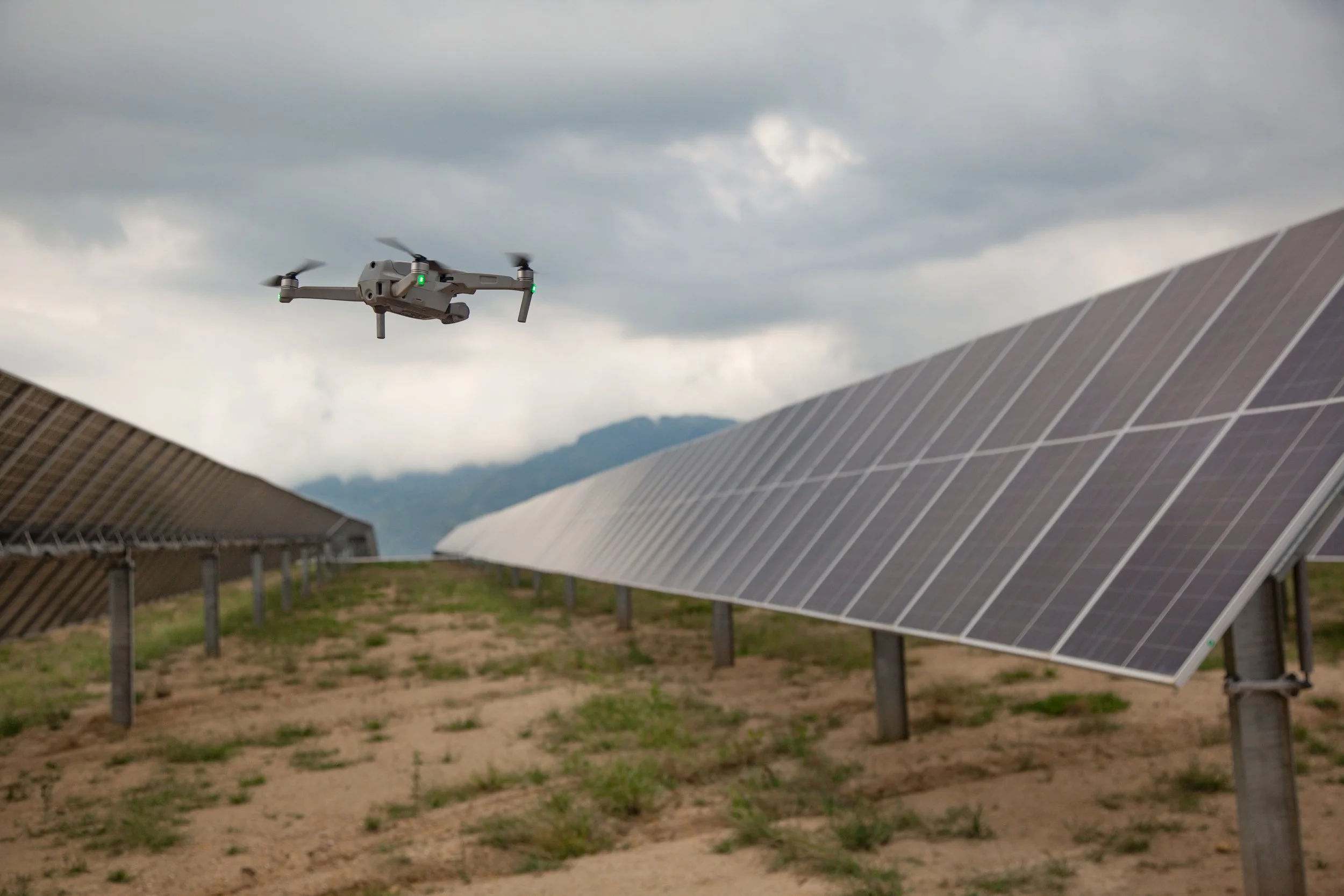
Utilities & Telecom
Solar, wind, and telecom utilities use aerial photography for optimal site selection, infrastructure monitoring, and maintenance. High-res images map terrain and identify ideal locations by analyzing sunlight, wind, and signal coverage. Aerial inspections detect damage early, reducing downtime and costs. This tech offers real-time views to boost efficiency and support renewable energy and network growth.

Aerial Videography
-
Real Estate + Tourism Marketing
Aerial videography transforms real estate and tourism marketing by capturing expansive, dynamic views unreachable from the ground. It showcases property layouts and neighborhoods to engage buyers and speeds decisions, while highlighting destinations’ beauty and attractions to inspire travelers. This innovative method enhances storytelling and delivers compelling, modern visuals.
-
Film, Television, + Media Production
Aerial videography transforms film and media with dynamic, sweeping shots of vast landscapes and complex action, impossible from the ground. Using drones and advanced platforms, it offers stunning visuals with greater flexibility, efficiency, and cost savings, enhancing storytelling with cinematic depth and immersive scale.
-

Corporate + Special Events
Aerial videography captures dynamic, sweeping views of corporate, special, and sporting events. It highlights large crowds, venues, and layouts with stunning, cinematic visuals, enhancing storytelling and engagement. Perfect for product launches, weddings, marathons, or festivals, it elevates the event’s impact, making it unforgettable.