BUILDING & INFRASTRUCTURE INSPECTION SERVICES
Revolutionizing Infrastructure Safety: Unmatched Precision in Building and Critical Asset Inspections with Cutting-Edge Drone Technology
Reality capture using drones revolutionizes the inspection of buildings and critical infrastructure by combining precision, safety, and efficiency. Drones equipped with advanced sensors and high-resolution cameras can access hard-to-reach areas, providing detailed 3D models and geospatial data without the need for scaffolding or manual inspections. This technology significantly reduces risk to personnel, accelerates the inspection process, and uncovers issues that might be missed during traditional surveys. Additionally, the data captured supports proactive maintenance, extends asset lifespan, and aids compliance with regulatory standards. By integrating reality capture into infrastructure management, stakeholders gain unprecedented insights, enabling smarter decisions and cost-effective upkeep.
Data Acquisition
-
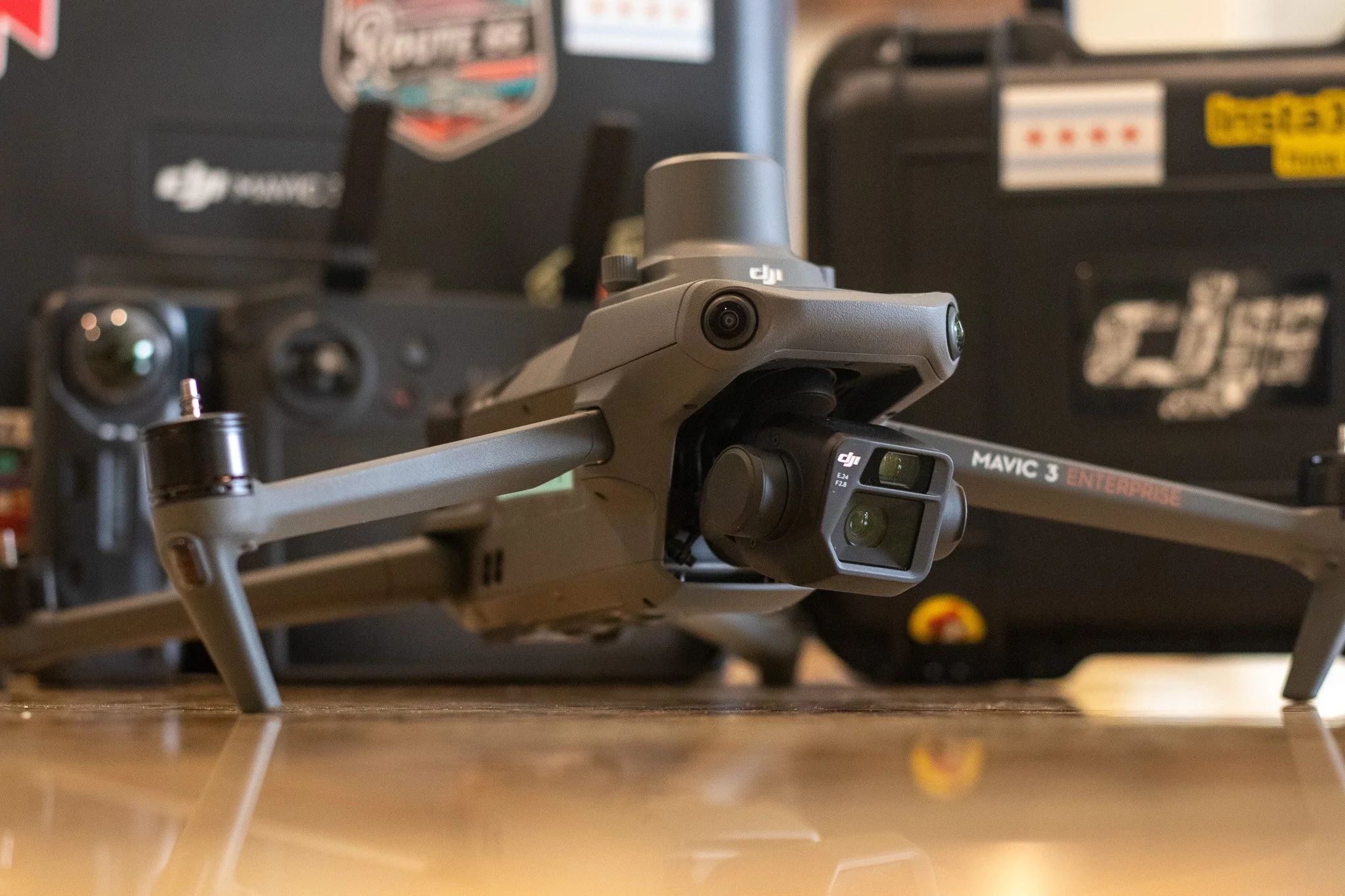
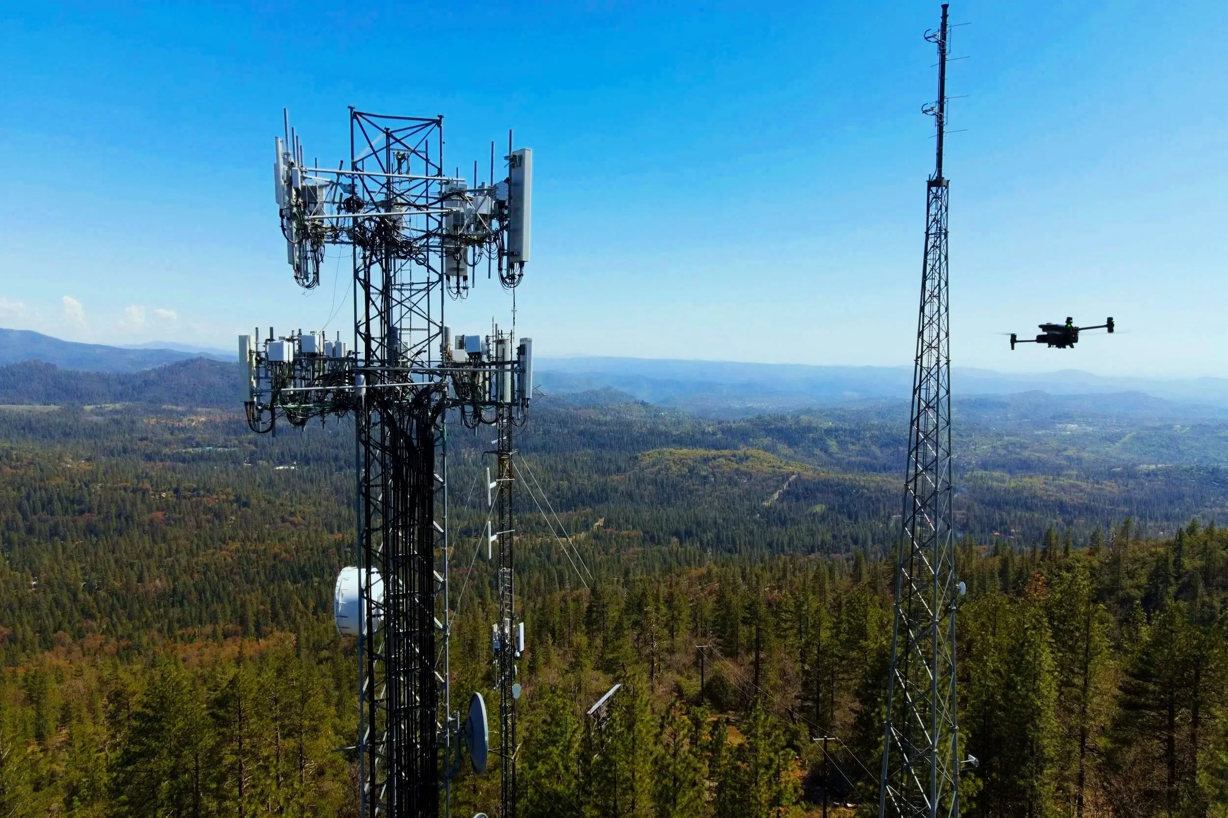
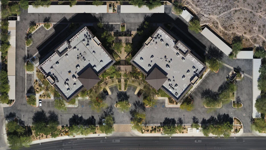
Aerial (Drone/sUAS)
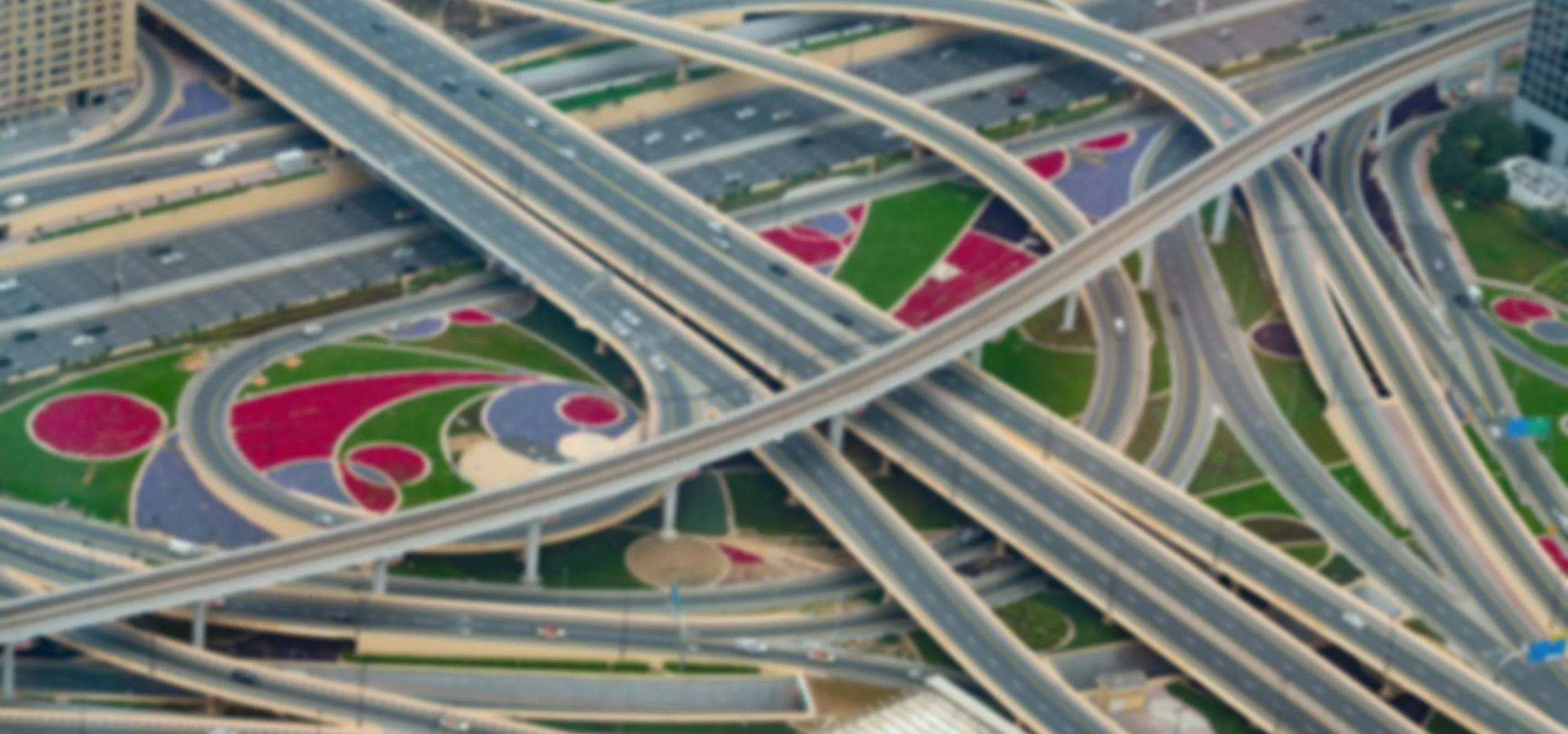
Drone mapping revolutionizes spatial data capture. With high-res cameras and LiDAR, drones deliver precise, efficient, and cost-effective 3D maps and models. Ideal for construction, agriculture, environment, and inspections, they speed data collection, boost accuracy, and improve decisions. This innovative tech saves time and resources, unlocking new ways to visualize and manage projects.
-
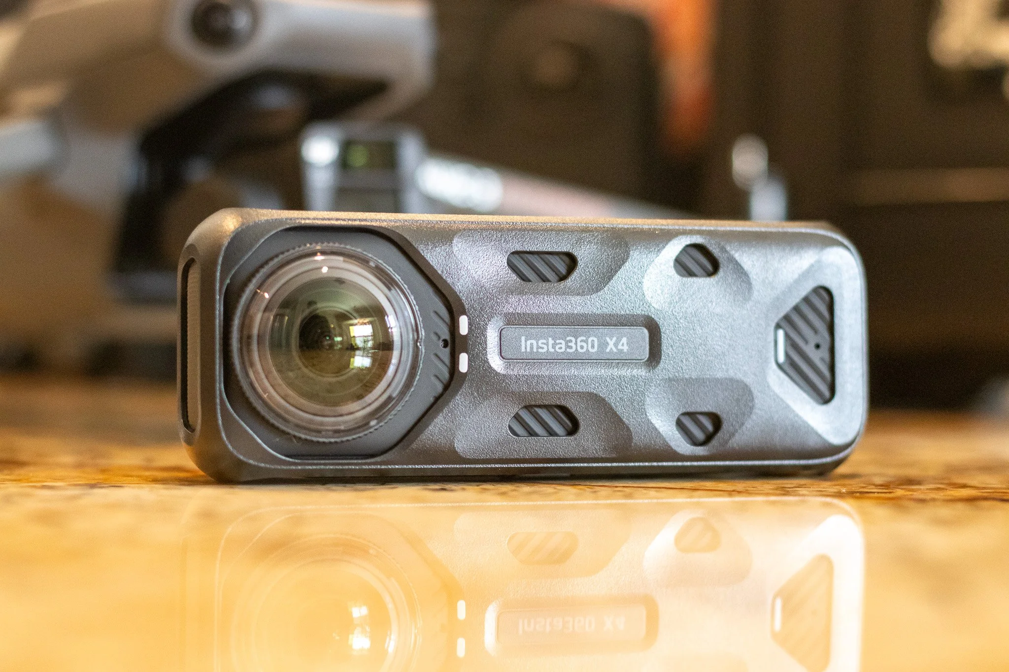
Terrestrial
Using still and 360 photos and videos for terrestrial mapping captures detailed spatial data. High-resolution images ensure precise measurements and texture mapping, while 360 visuals enhance situational awareness and communication. Together, these methods enable efficient data collection for accurate geospatial analysis, 3D modeling, and virtual walkthroughs, boosting project accuracy and decisions.
-
RTK + GNSS
RTK (Real Time Kinematic) technology boosts drone mapping accuracy down to the centimeter level by correcting GPS signals via a fixed base station in real time. It ensures precise geospatial data for construction, topographic mapping, and inspections, cutting post-processing time and errors, vital for detailed, reliable aerial surveys.

Data Processing & Analysis
-
2D Data Visualization
2D visualization in RTK drone mapping delivers precise, real-time spatial data with centimeter-level accuracy. Using RTK technology, drones capture detailed 2D maps showing topography, boundaries, and infrastructure. These maps speed up assessment and decision-making in construction, agriculture, and environmental monitoring by providing clear, accurate site overviews that enhance workflows and outcomes.
-

3D Data Visualization
3D visualization of RTK drone mapping delivers centimeter-accurate terrain and structure models. Using Real-Time Kinematic positioning, drones capture precise geospatial data, creating detailed 3D models for analysis, measurement, and inspection. This improves decision-making in construction, infrastructure, and environmental monitoring. ProAerial Media combines RTK with advanced 3D modeling to provide reliable, efficient, and innovative data across industries.
-

Reporting & Sharing
DroneDeploy’s reporting and sharing tools boost collaboration and decision-making by offering real-time aerial data and 3D models. Stakeholders can create detailed, customizable reports and instantly share interactive maps via cloud platforms, ensuring timely updates and smoother workflows across construction, agriculture, mining, and inspection. Secure access controls protect data while enhancing transparency, efficiency, and project results.