THE PROAERIAL MEDIA BLOG
Professional Drone Real Estate Photography in Durango, CO
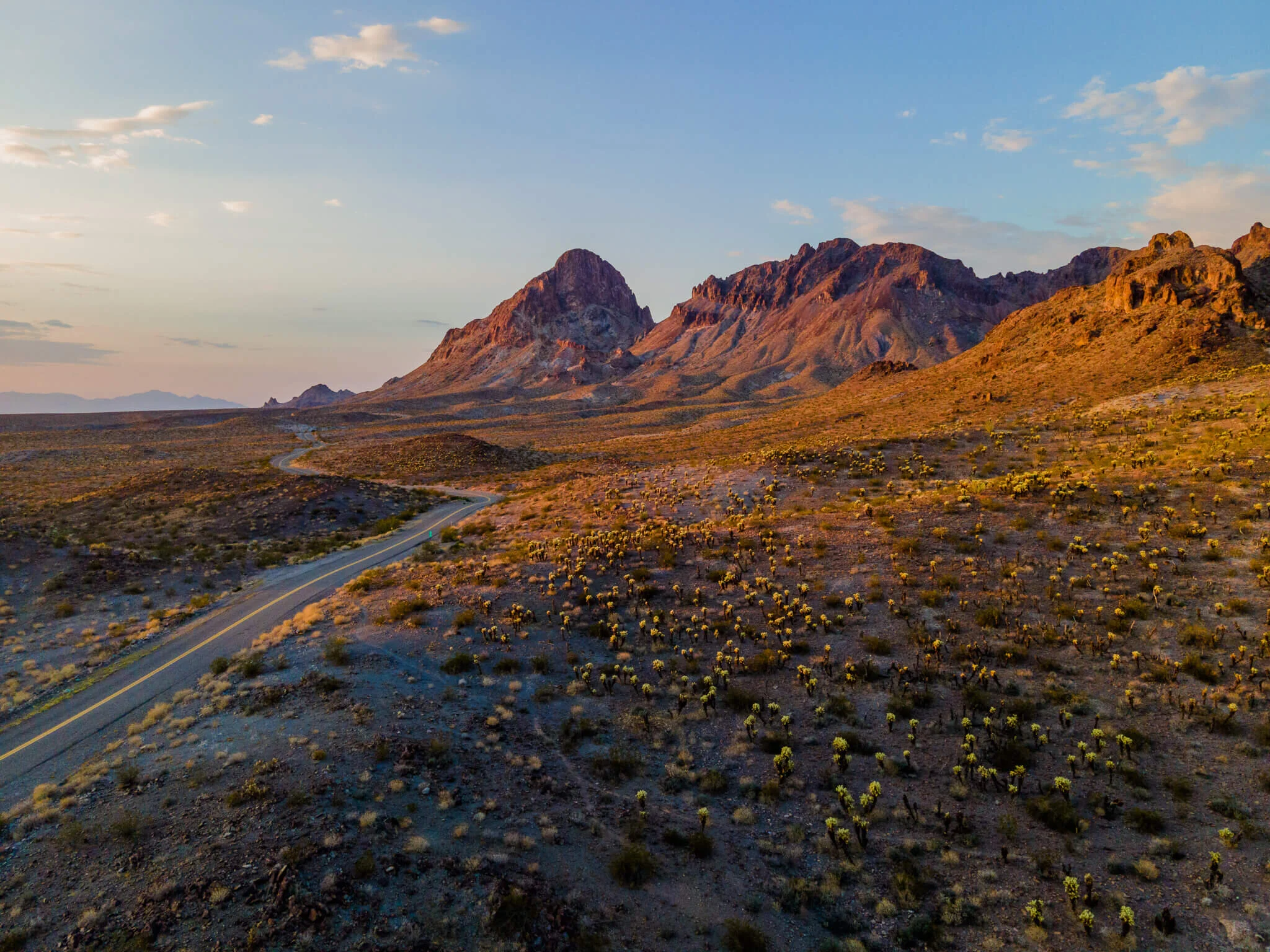
In the competitive real estate market of Durango, CO, standing out is crucial. One way to achieve this is through professional aerial photography. Drone photography offers a unique perspective. It captures stunning aerial views that can highlight the best features of a property.
But it's not just about aesthetics. Drone photography can also be a powerful tool for small business owners and asset managers.
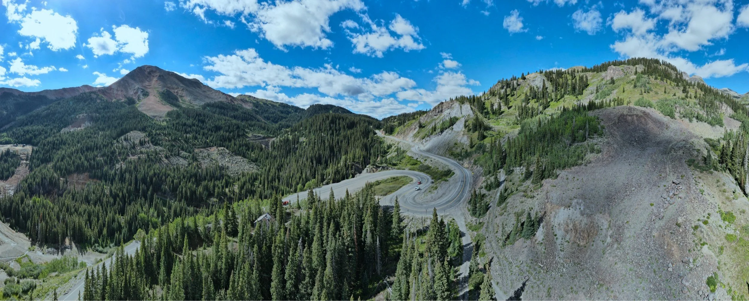
The Best UAV Aerial Mapping Company in Colorado: PAM
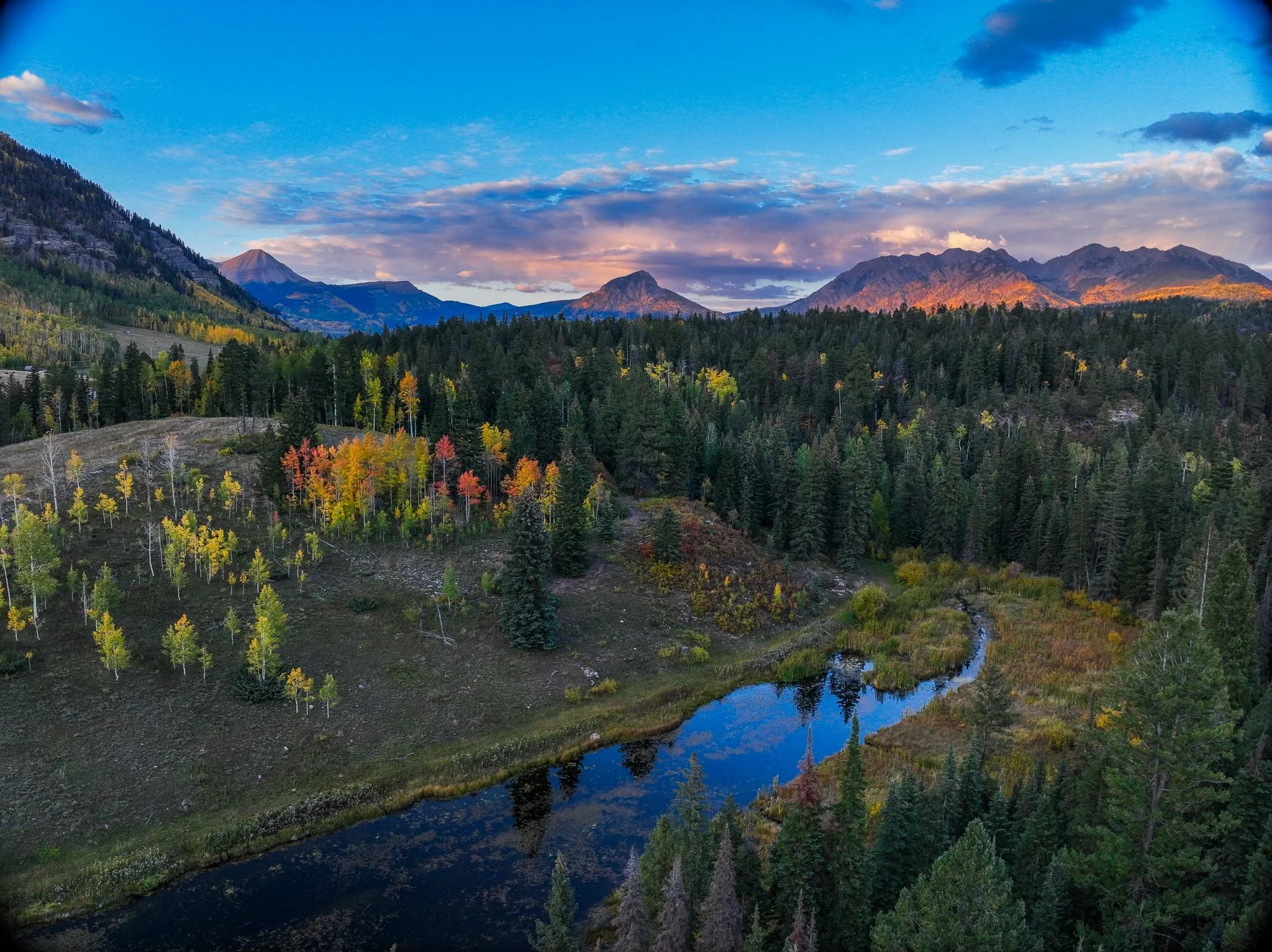
In the rapidly evolving world of technology, aerial mapping has emerged as a game-changer. It's a tool that's transforming industries, from small businesses to large-scale operations.
Unmanned Aerial Vehicles (UAVs), commonly known as drones, are at the forefront of this revolution. They're providing unprecedented access to high-quality, accurate data.
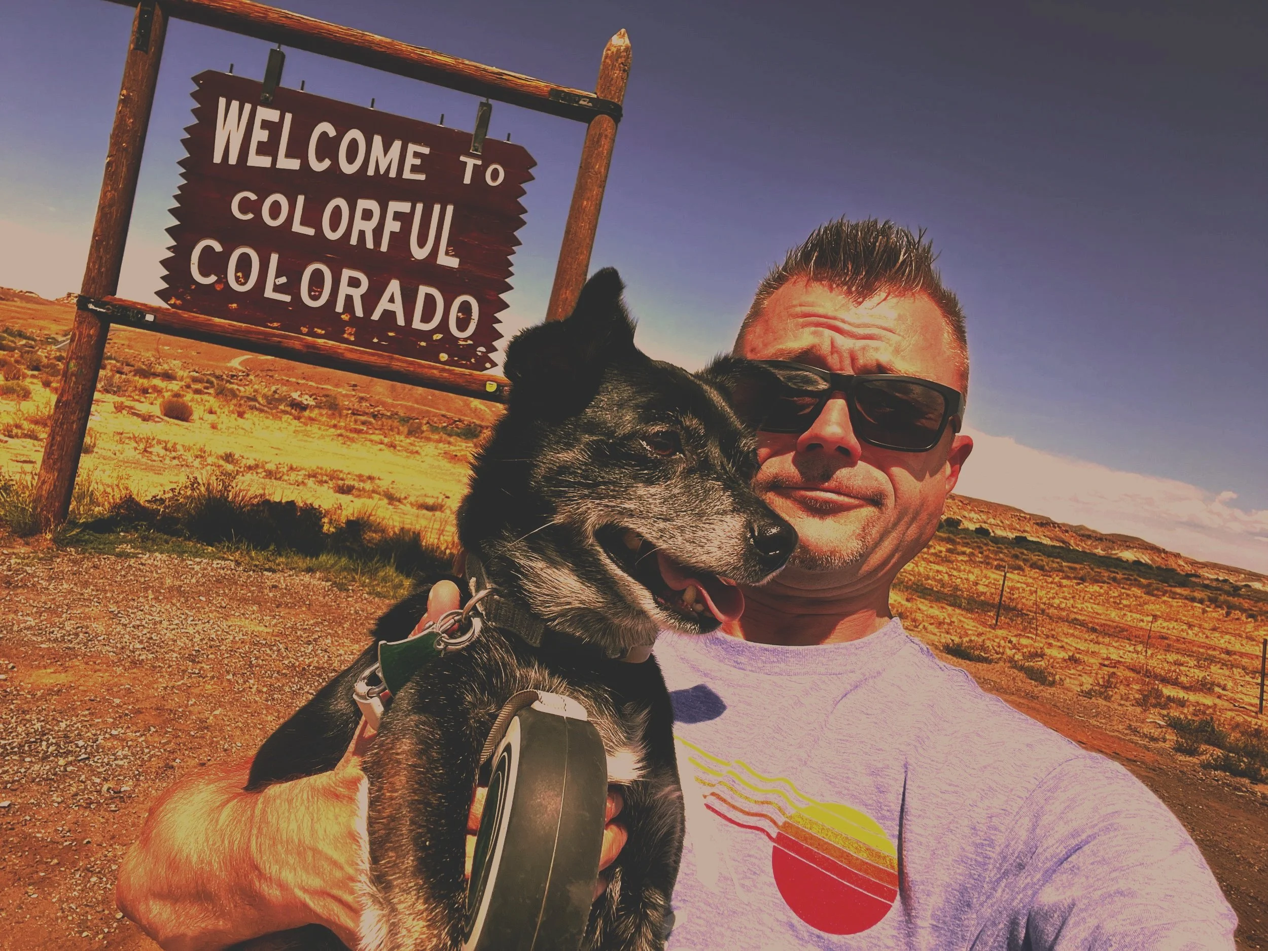
Meet Commercial Drone Pilot Christopher Kabat of Durango, CO
Click to learn all about, and view the aerial imaging work of Commercial Durango, CO Drone Pilot and Owner of ProAerial Media LLC, Christopher Kabat, who...