THE PROAERIAL MEDIA BLOG
The Best UAV Aerial Mapping Company in Utah: PAM
Aerial mapping, powered by drones ( or Unmanned Aerial Vehicles UAVs), is transforming business operations by providing unprecedented access to high-quality data. From enhancing marketing strategies for small businesses to streamlining project management for large-scale endeavors, aerial mapping offers a valuable tool for improving efficiency and effectiveness across various industries.
The Best UAV Aerial Mapping Company in Colorado: PAM
In the rapidly evolving world of technology, aerial mapping has emerged as a game-changer. It's a tool that's transforming industries, from small businesses to large-scale operations.
Unmanned Aerial Vehicles (UAVs), commonly known as drones, are at the forefront of this revolution. They're providing unprecedented access to high-quality, accurate data.
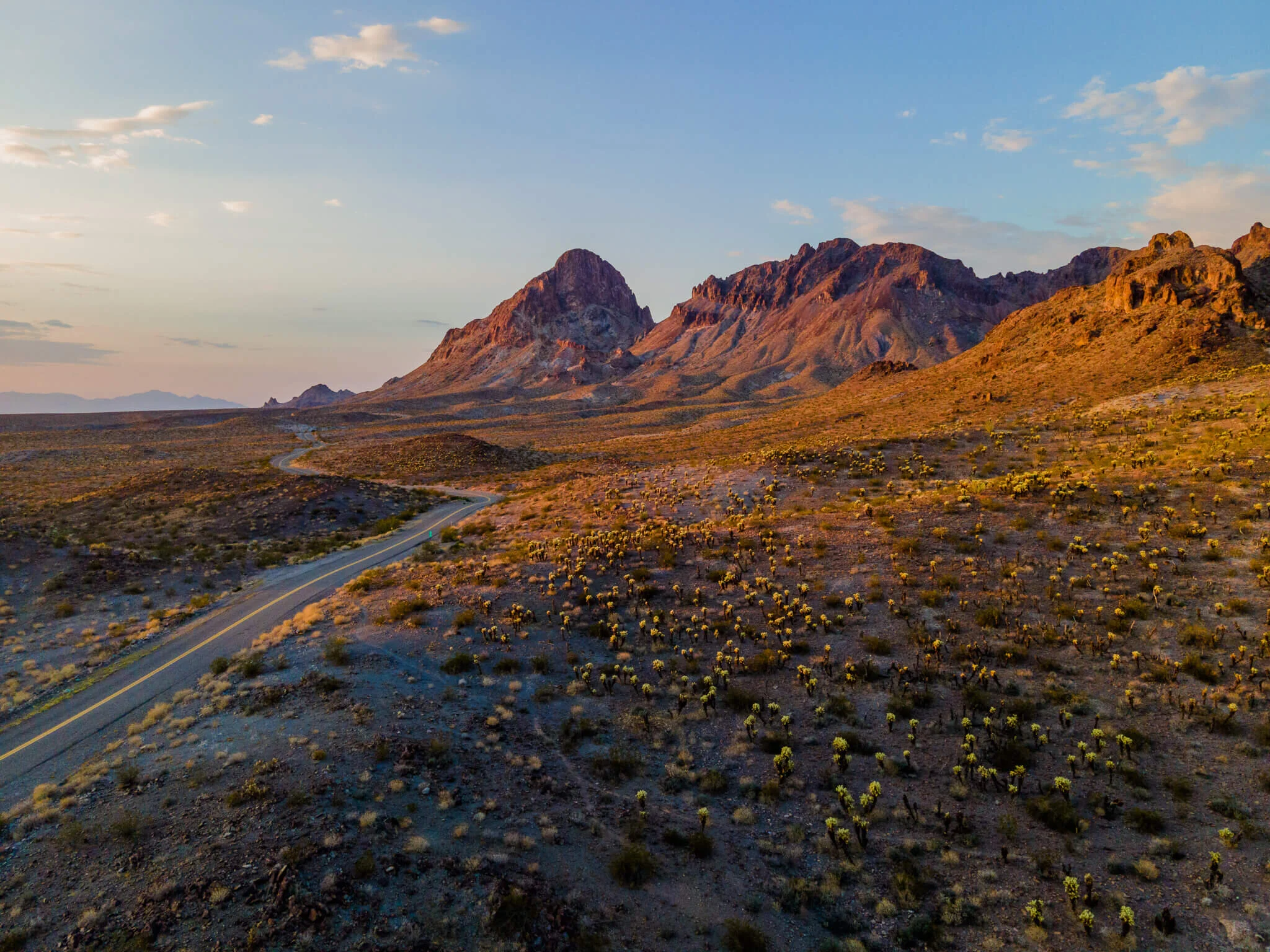
The Best UAV Aerial Mapping Company in New Mexico: PAM
Aerial mapping is changing the way we do business, no matter how big or small the company. Drones are leading this change by giving us access to better data than ever before. Aerial mapping can help small businesses improve their marketing and help managers work more efficiently, especially on large projects.
This article will introduce ProAerial Media LLC (PAM), a leading UAV aerial surveying and aerial mapping company in New Mexico, and explain how their services can help your business grow.

Creating Digital Twins of Industrial Assets With Drones
Explore the technology behind digital twin creation with drones, the benefits it offers for infrastructure and industrial asset management, and the step-by-step processes involved. Digital twins have found applications across various industries, including manufacturing and infrastructure management.
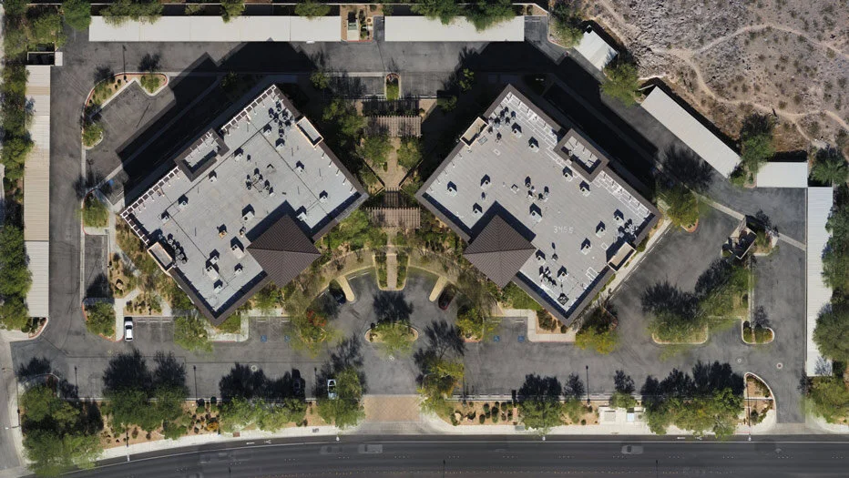
What Is An Orthomosaic Map? (Answered in under 100 words)
An Orthomosaic Map is an aerial photograph comprised of dozens, hundreds, or thousands of smaller overlapping images, typically captured with a drone or UAV. These images are “stitched together” with specialized photogrammetry software resulting in an Orthomosaic Image that has been “orthorectified” or geometrically corrected to provide uniform scale throughout allowing for accurate measurement of distance.
What Is Photogrammetry? (Answered In Under 100 Words)
Photogrammetry is the process of creating a digital representation of a place or object in reality, by collecting multiple photographs of the subject from varying vantage points and compiling those images together in specialized computer software.

What Is Drone Mapping Used For? Overview + Use-Cases
SO WHAT IS DRONE MAPPING USED FOR?
Just about anything that you could stand to have a better look at or view of. Drone surveying and mapping literally give you the ability to “see the big picture” — but perhaps the most important single thing a drone is used for is to ‘save time’.