THE PROAERIAL MEDIA BLOG
Leveraging Aerial Photography and Drones in Construction
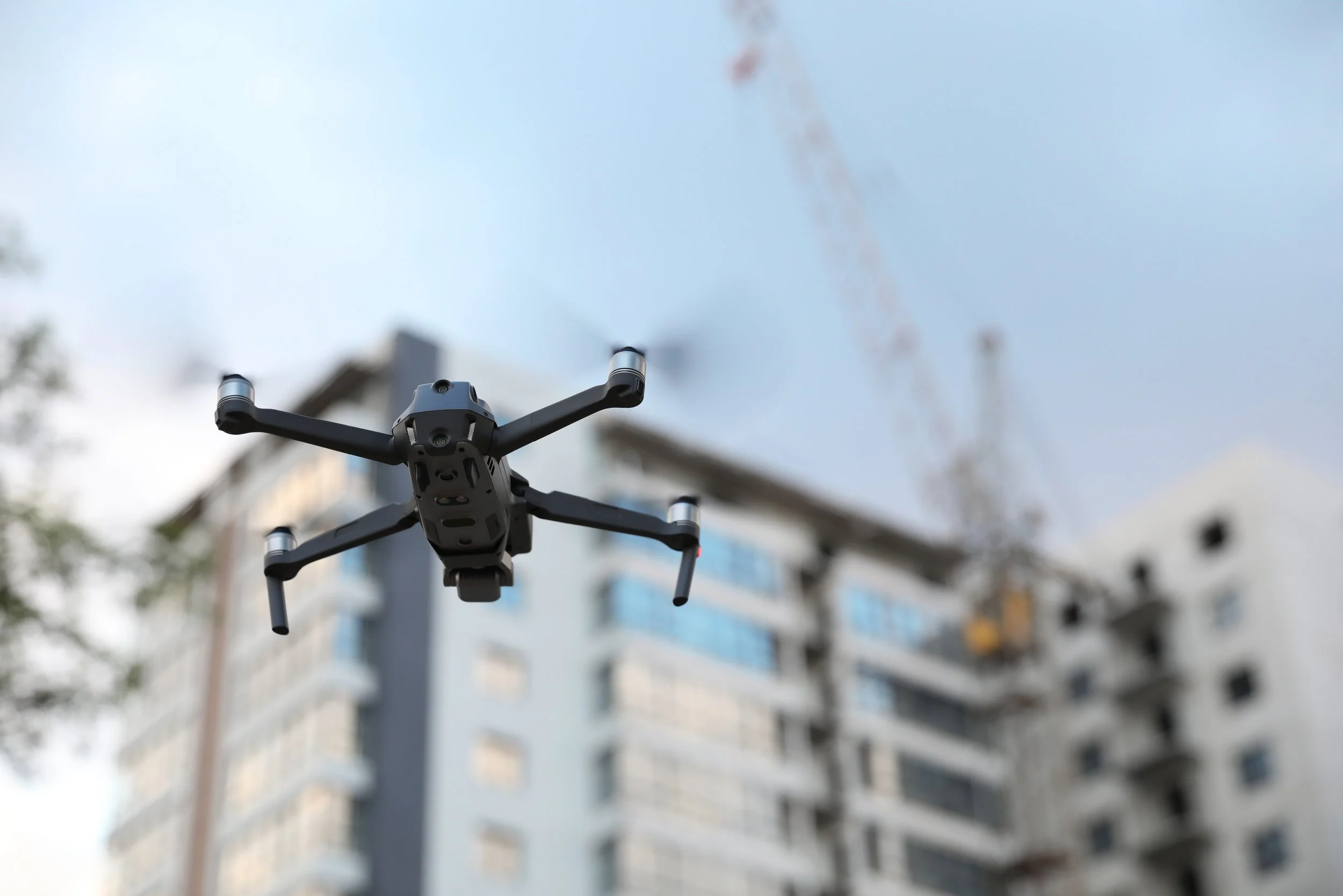
Recognizing the role of drones and aerial monitoring in construction and the key applications of this technology in the industry can help you make an educated decision about these services for your business. Let’s take a closer look at how construction businesses can leverage aerial photography and drones to enhance their operations.

Real Estate Aerial Photography Tips for Realtors
Photos are perhaps the most powerful tool in your arsenal for closing real estate deals. Photos reach out and grab the attention of the viewer in a way that words can't. But with most real estate agents offering professional photography as part of their package, how can you start standing out? You take it one step further and start offering real estate aerial photography with a drone.
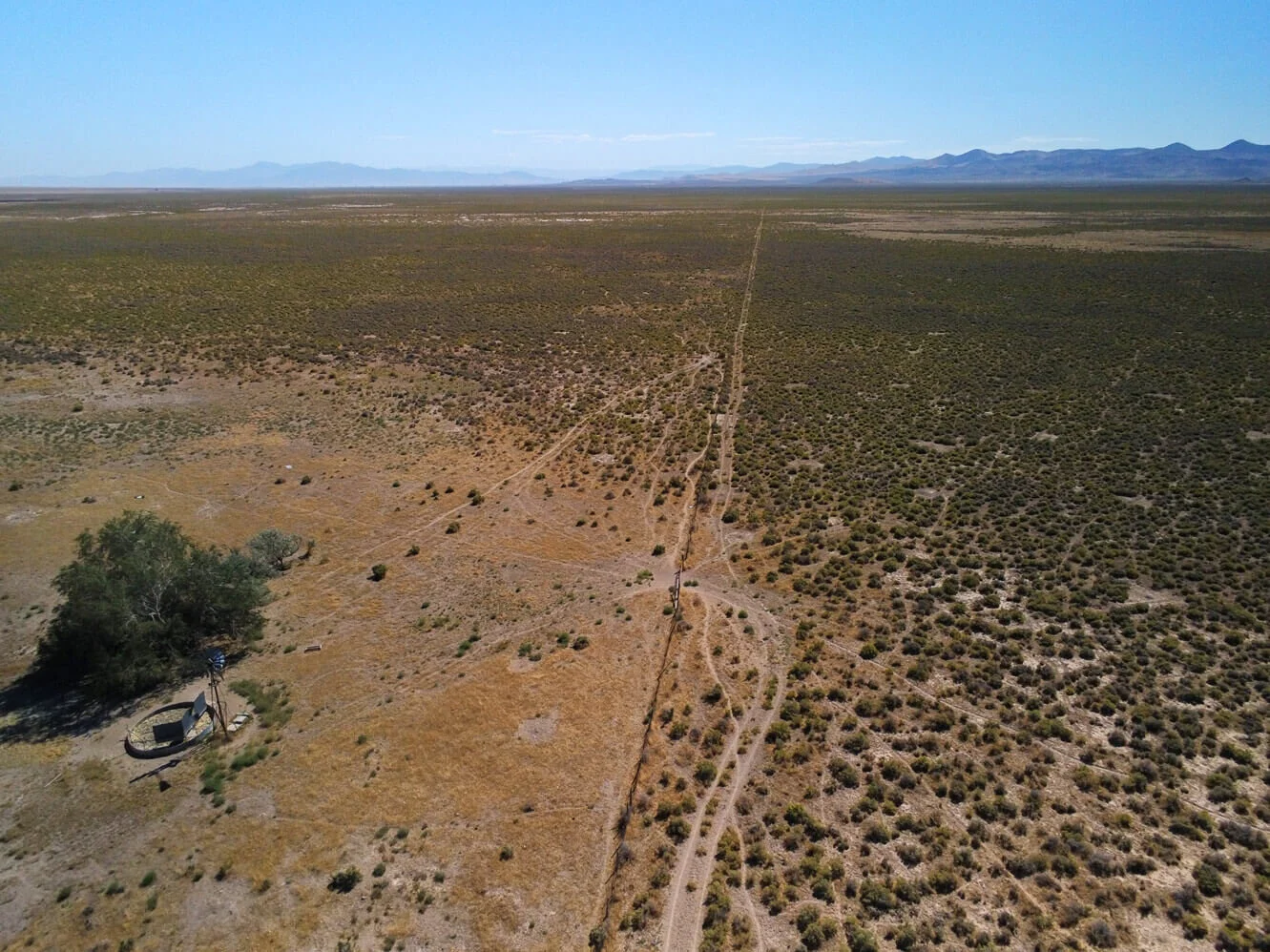
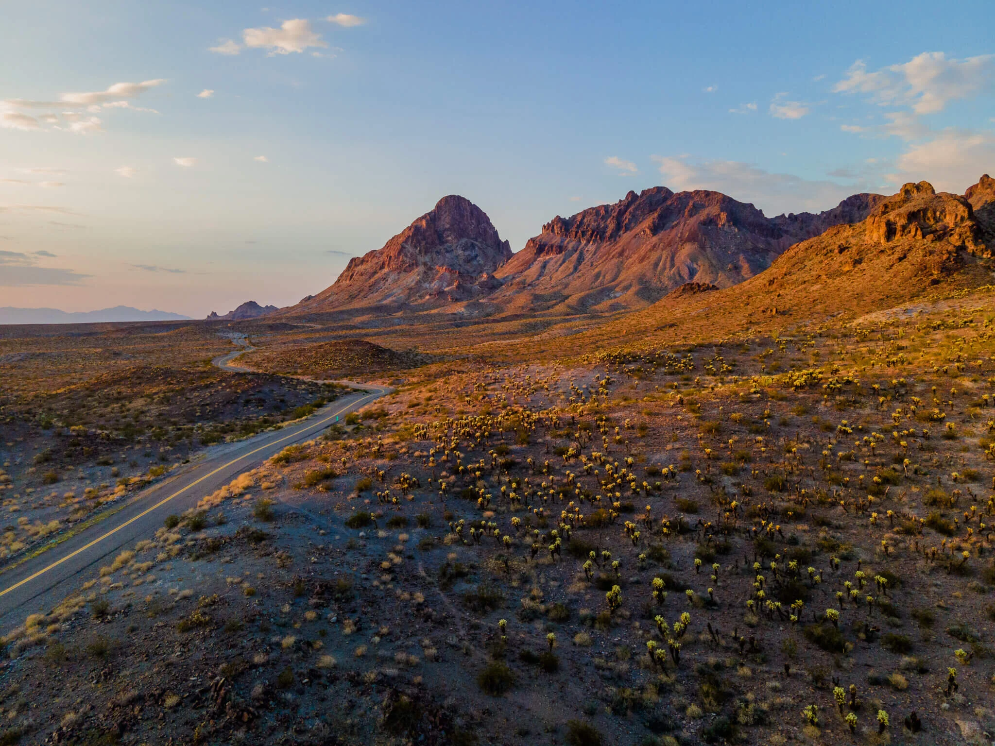
How To Sell Rural Vacant Land with Aerial Photos & Video
Residential and commercial Realtors, real estate companies, and property management businesses, all leverage aerial photography, and video in their real estate listings. But what about using aerial photos and video for rural vacant land sales?
In this article, we’ll be showing some of the services a commercial UAV pilot or aerial photographer can provide to realtors and those selling undeveloped land.