THE PROAERIAL MEDIA BLOG
The Best UAV Aerial Mapping Company in New Mexico: PAM
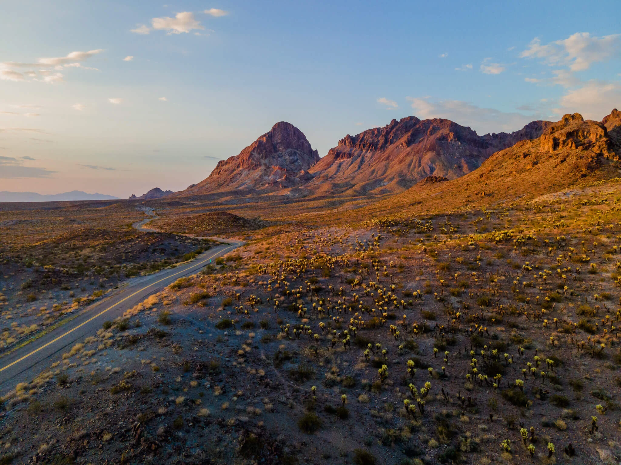
Aerial mapping is changing the way we do business, no matter how big or small the company. Drones are leading this change by giving us access to better data than ever before. Aerial mapping can help small businesses improve their marketing and help managers work more efficiently, especially on large projects.
This article will introduce ProAerial Media LLC (PAM), a leading UAV aerial surveying and aerial mapping company in New Mexico, and explain how their services can help your business grow.

What Is Drone Mapping Used For? Overview + Use-Cases
SO WHAT IS DRONE MAPPING USED FOR?
Just about anything that you could stand to have a better look at or view of. Drone surveying and mapping literally give you the ability to “see the big picture” — but perhaps the most important single thing a drone is used for is to ‘save time’.