Western Colorado Summer Photography Special
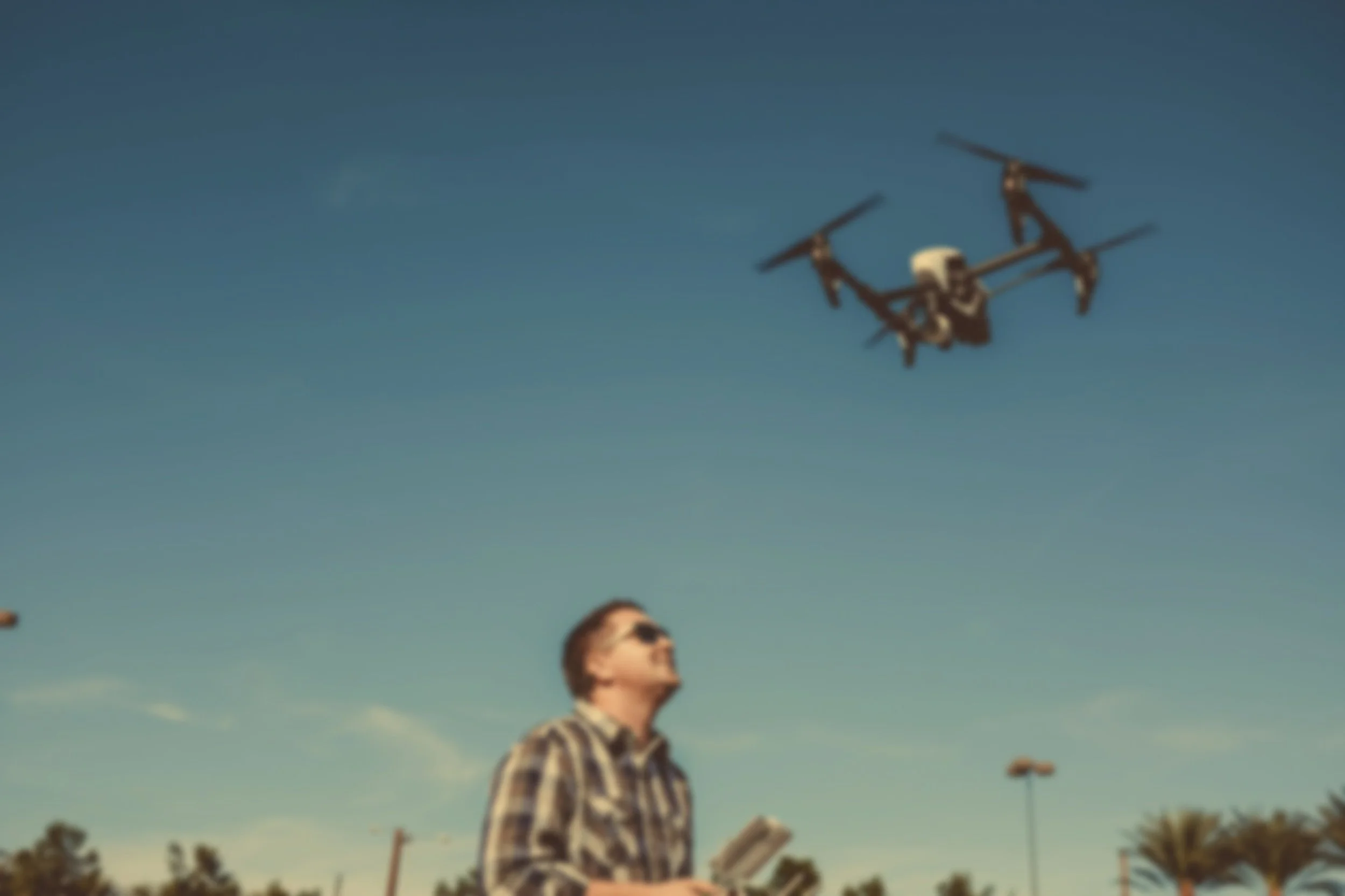
DRONE MAPPING & AERIAL PHOTOGRAPHY
100 ACRES ONLY $495!
*Limitations apply
Drone OrthoMapping & Aerial Surveying CO Summer Promotion (up to 100 acres)
$495.00 (Regularly $1,300.00+)

Unlock the power of precision aerial data this summer on Colorado’s stunning Western Slope. Whether you're managing land, assessing property, or documenting projects, take advantage of our being on vacation and realize amazing savings.
What’s Included for $495:
High-Resolution Mapping: Using drones, we will collect overlapping color photographs of your entire property (*up to 100 acres) to create an orthomosaic and topographic maps (DSM, DTM, Contour)
Regularly $1,300 per 100 acres
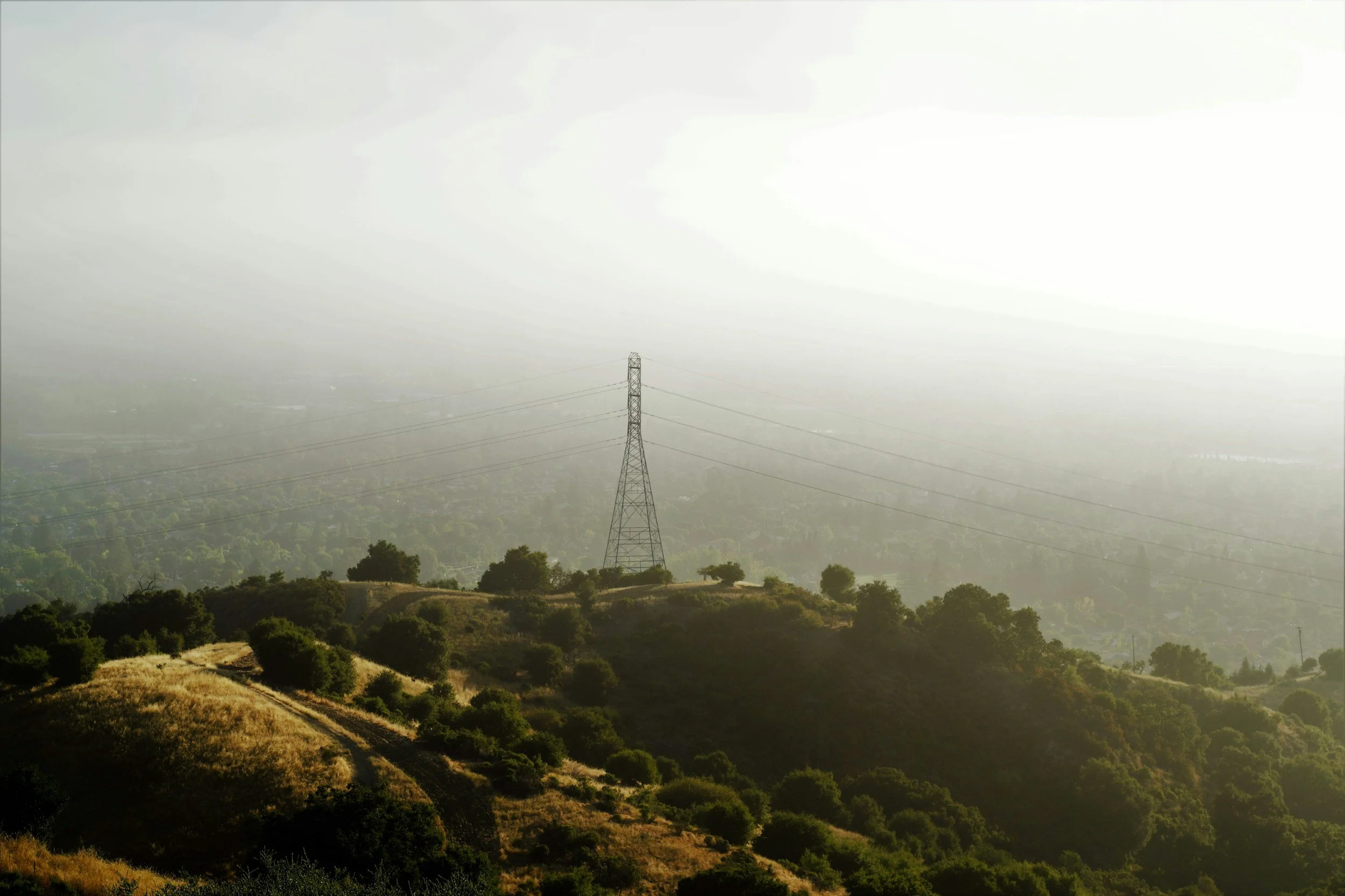
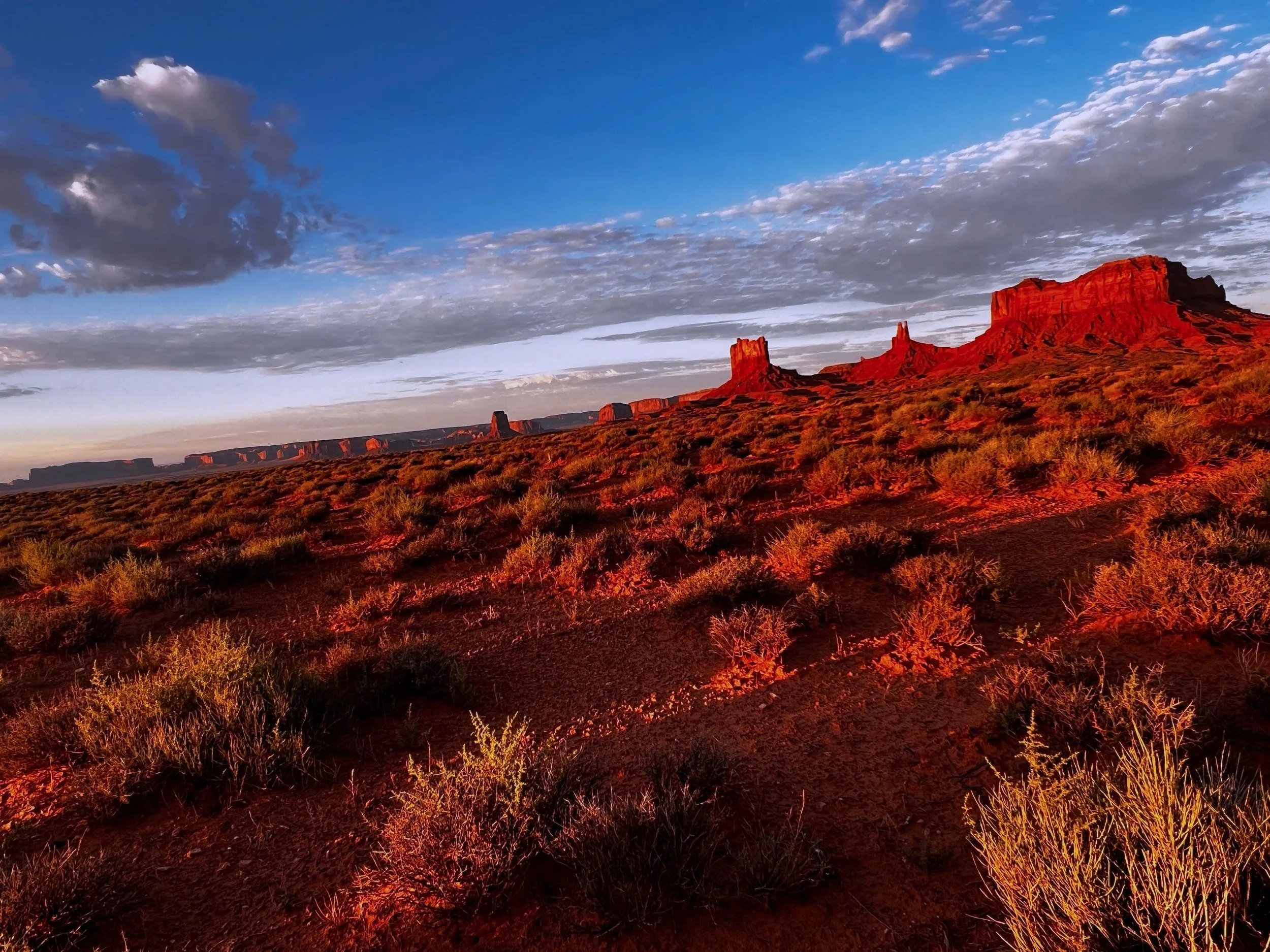
Aerial Photography: Again, using a drone, we’ll capture “glamour shots” of your home and property suitable for use in real estate listings and marketing projects.
Act Now – This is a Limited-Time Summer Offer!
Experience the latest drone technology tailored to the unique landscapes of the Western Slope. Whether you’re in Mesa, Delta, or Montrose County, our team is ready to assist.
Simply complete the form on this page to get started. Upon submission, our specialists will review your property or project details and contact you within 48 hours—often much sooner—to finalize flight arrangements.
Elevate your projects and property insights with expert drone mapping and aerial photography. Don’t miss out on this seasonal promotion—secure your spot now!
OFFER DETAILS:
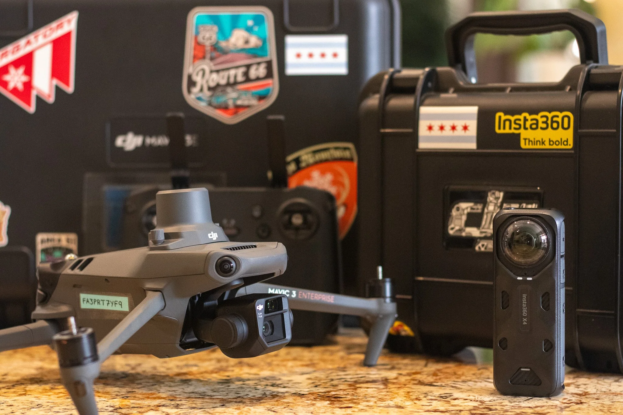
Orthomap: Flown at >200’ AGL, w/ 70/70 Front Side Overlap, yielding a GSD of >2cm/px. Final orthomap delivered in PDF, JPG, and GeoTIFF; DSM and DTM delivered as KML files.
Photography: 6–10 high-resolution images of the subject property from multiple altitudes and vantage points. Final color-corrected images shared via our Adobe Lightroom account.
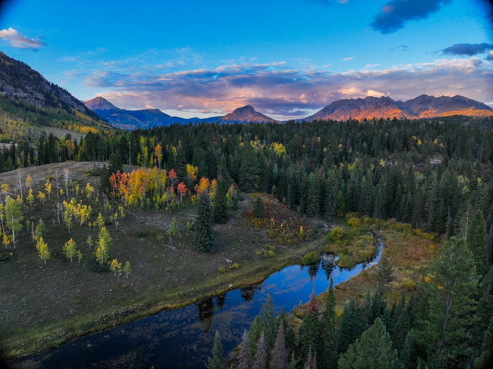
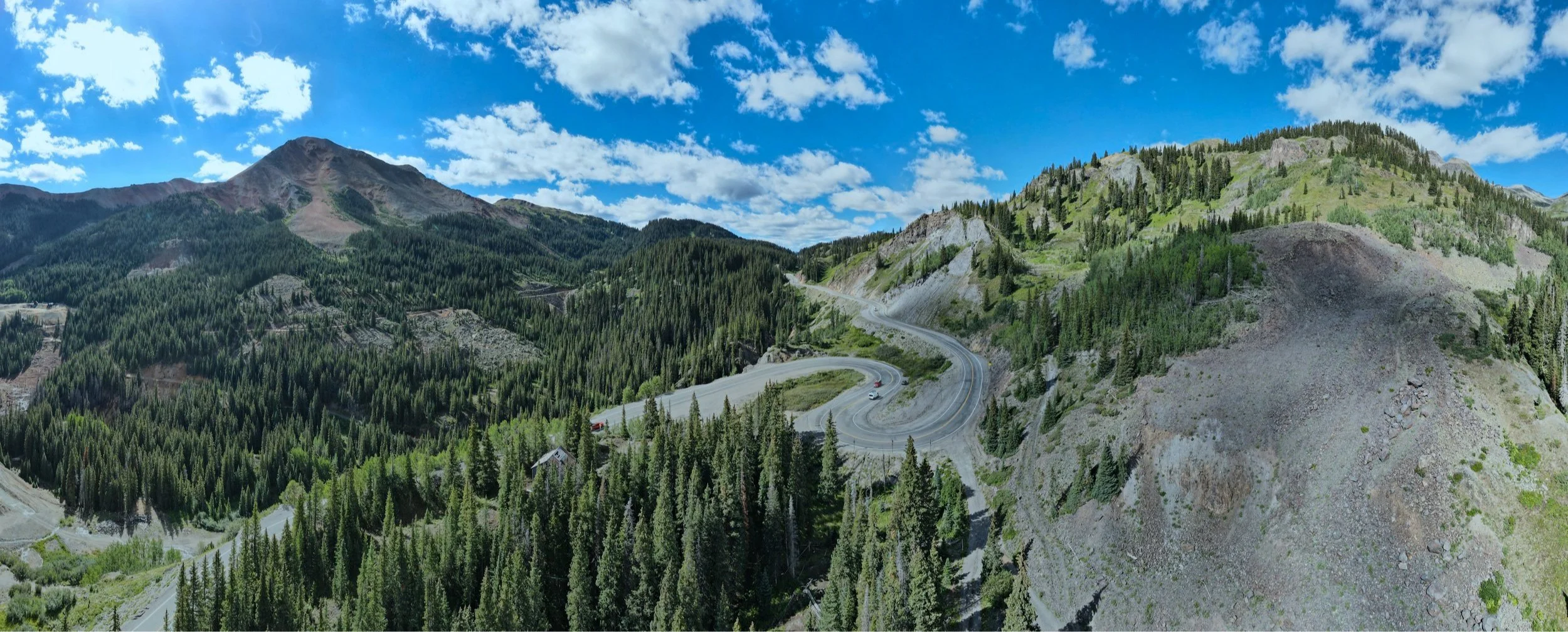
Drone Orthomosaic Mapping
Orthomosaic Drone Mapping is an advanced surveying technique that produces high-resolution, geometrically corrected aerial images. By stitching together multiple overlapping photos captured by a drone, orthomosaics deliver accurate, scale-consistent maps free from distortions caused by terrain or camera angle.
These maps are essential for applications such as land surveying, construction monitoring, agriculture management, and environmental assessment, providing precise spatial data to support decision-making and project planning. Orthomosaic maps combine the detail of aerial photography with the accuracy of traditional cartography, making them a critical tool in modern geospatial analysis.
Meet Our Senior Pilot

PAM Sr. Pilot: Christopher Kabat
Read Chris’ ‘Meet the Pilot’ Article
Request Your High Resolution Drone MAP:
3D Terrain and Surface Modeling
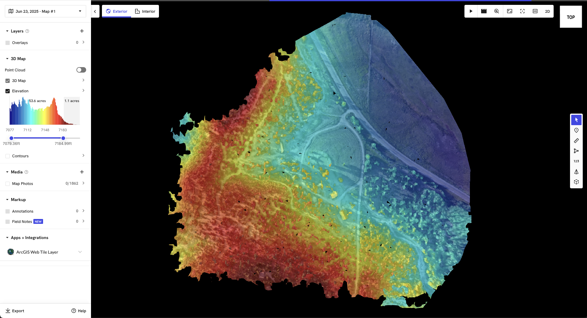
+3D Modeling - With our advanced inspection services, PAM can additionally render 3D Models (including Digital Surface Models, Digital Terrain Models, and Contour Line Maps) of your property for further digital analysis.

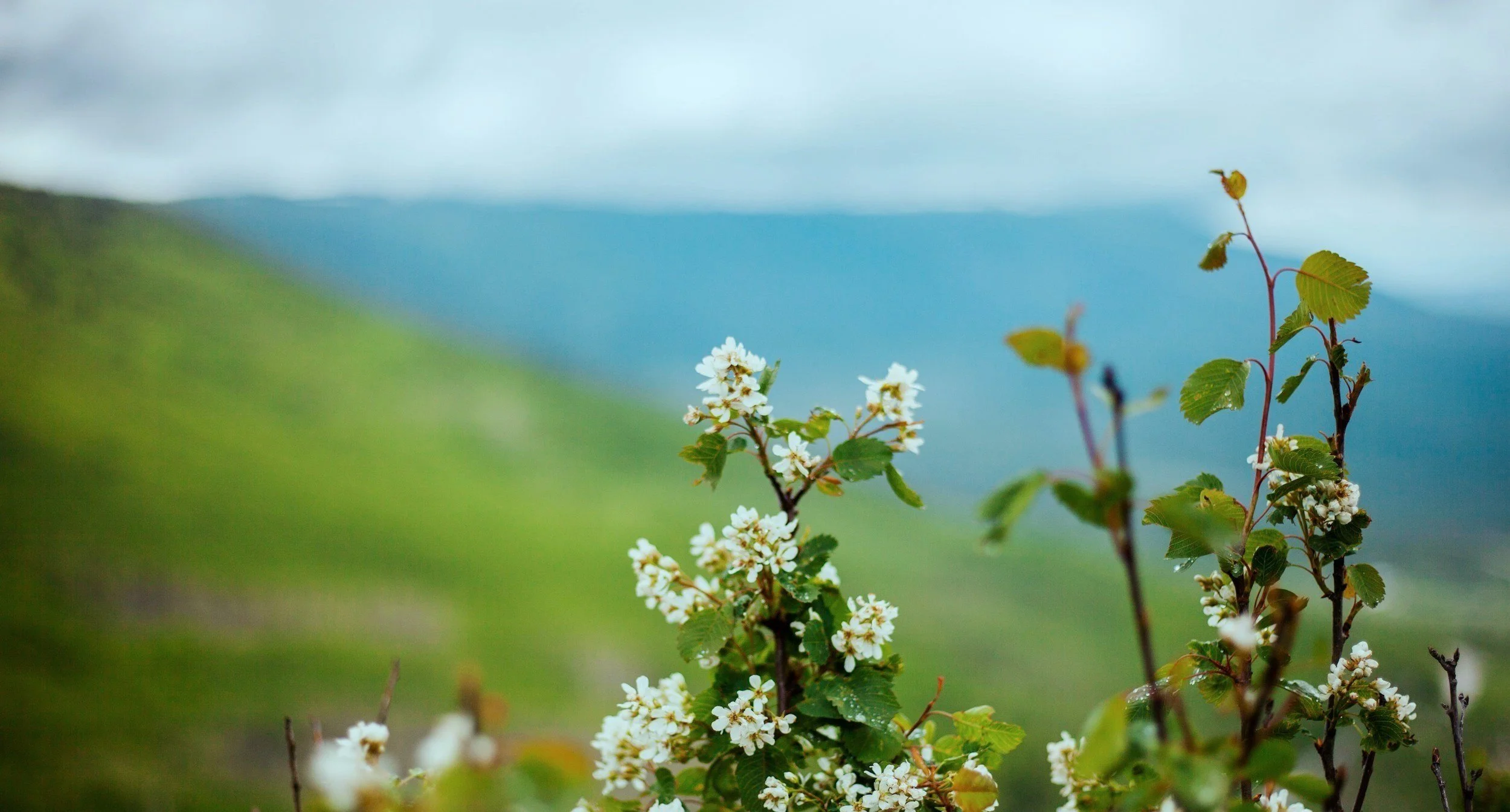
Aerial “Glamour Photography”


Who Is PAM?
PAM is the short name for ProAerial Media, LLC, which was established in 2019 and is based in Las Vegas, NV.
Servicing Greater Colorado, New Mexico, Arizona, Utah, Wyoming, Nevada, and California.
PAM pilots are FAA Part 107 Certified and Insured, and specialize in providing aerial photography, videography, and photogrammetry services to clients in Agriculture, Construction, Solar Energy & Gas, Engineering, Real Estate, and more.

We Also Do Roof Inspections

Reasons for Drone Roof Inspections
Real Estate Appraisals
Roof Repair Estimation
Insurance Adjuster Claims
Solar Panel Installation and Maintenance
Regular Home Maintenance (gutter, shingles, tuckpointing)
For more info, read our blog article “Aerial Drone Roof Inspections: An Overview + Cost Guide”.
“We called PAM to help assess some damage to the roof of our barn, and they were on site the next morning. Very professional and a pleasure to work with.”

The global construction industry, a vital foundation of development, is continuously evolving. It consistently seeks innovative methods to boost efficiency, improve accuracy, and foster seamless collaboration. This ongoing pursuit has led to a truly transformative process that is reshaping the industry. Precision Unified Reality Capture.