THE PROAERIAL MEDIA BLOG

Creating Digital Twins of Industrial Assets With Drones
Explore the technology behind digital twin creation with drones, the benefits it offers for infrastructure and industrial asset management, and the step-by-step processes involved. Digital twins have found applications across various industries, including manufacturing and infrastructure management.

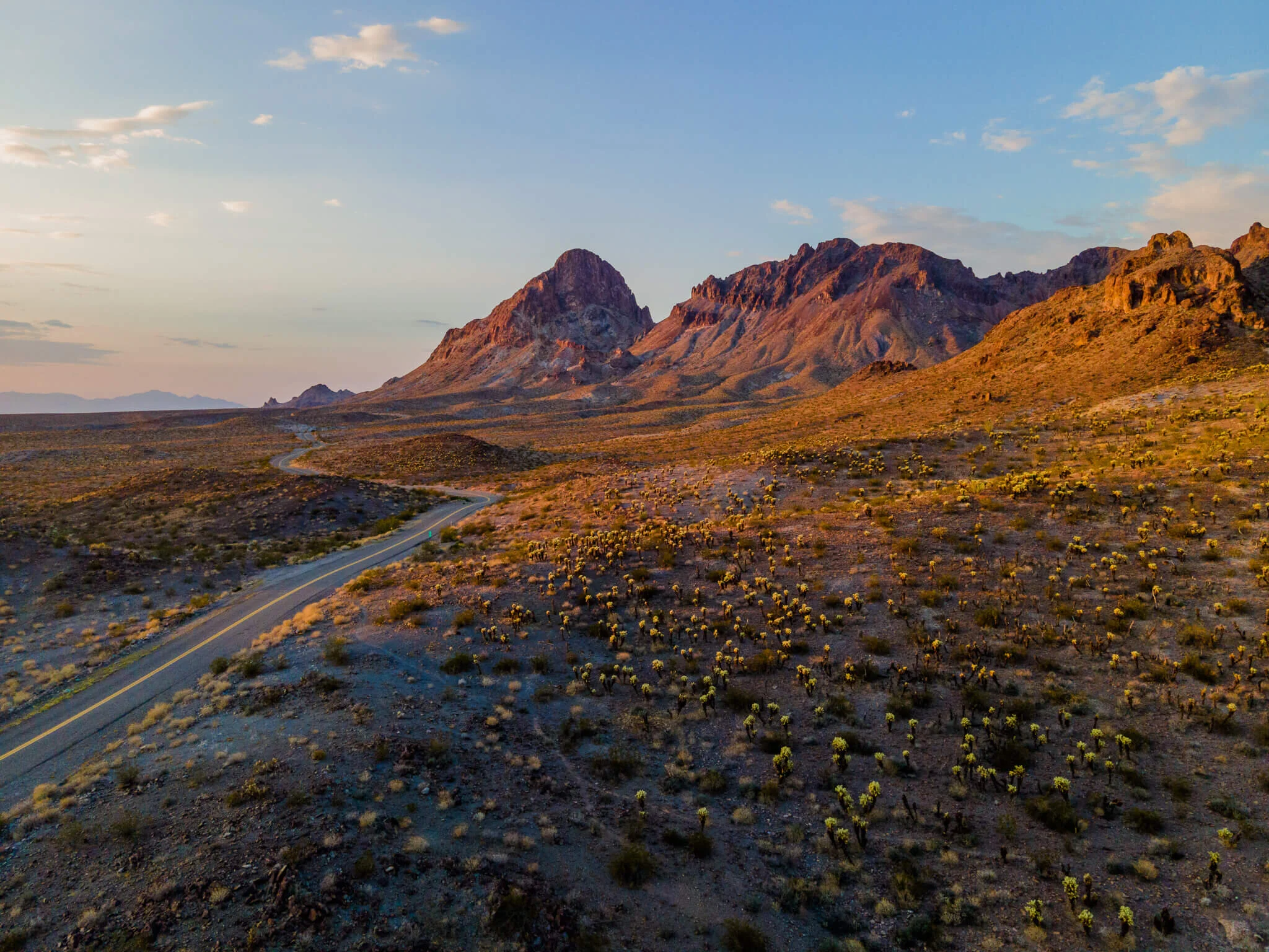
Improving Historical Preservation w/ Aerial Photogrammetry
Though efforts are made to preserve many cultural and historical sites, far more never receive the ongoing funding needed to “last forever”. They like all things, will ultimately succumb to father time. However, utilizing drones and aerial photogrammetry, these cultural treasures can actually live-on and be experienced by future generations as highly detailed and interactive 3D representations of reality.
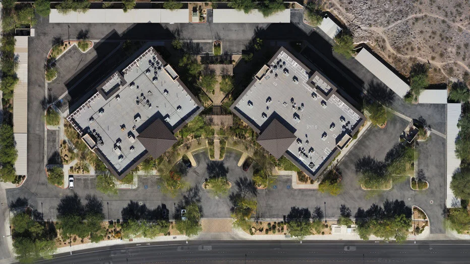
What Is An Orthomosaic Map? (Answered in under 100 words)
An Orthomosaic Map is an aerial photograph comprised of dozens, hundreds, or thousands of smaller overlapping images, typically captured with a drone or UAV. These images are “stitched together” with specialized photogrammetry software resulting in an Orthomosaic Image that has been “orthorectified” or geometrically corrected to provide uniform scale throughout allowing for accurate measurement of distance.
What Is Photogrammetry? (Answered In Under 100 Words)
Photogrammetry is the process of creating a digital representation of a place or object in reality, by collecting multiple photographs of the subject from varying vantage points and compiling those images together in specialized computer software.