THE PROAERIAL MEDIA BLOG

Improving Historical Preservation w/ Aerial Photogrammetry
Though efforts are made to preserve many cultural and historical sites, far more never receive the ongoing funding needed to “last forever”. They like all things, will ultimately succumb to father time. However, utilizing drones and aerial photogrammetry, these cultural treasures can actually live-on and be experienced by future generations as highly detailed and interactive 3D representations of reality.
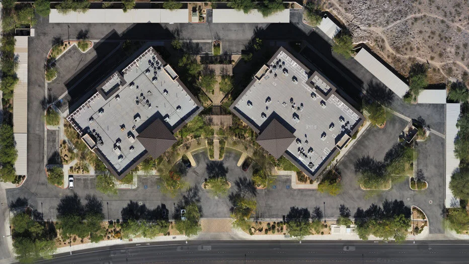
What Is An Orthomosaic Map? (Answered in under 100 words)
An Orthomosaic Map is an aerial photograph comprised of dozens, hundreds, or thousands of smaller overlapping images, typically captured with a drone or UAV. These images are “stitched together” with specialized photogrammetry software resulting in an Orthomosaic Image that has been “orthorectified” or geometrically corrected to provide uniform scale throughout allowing for accurate measurement of distance.

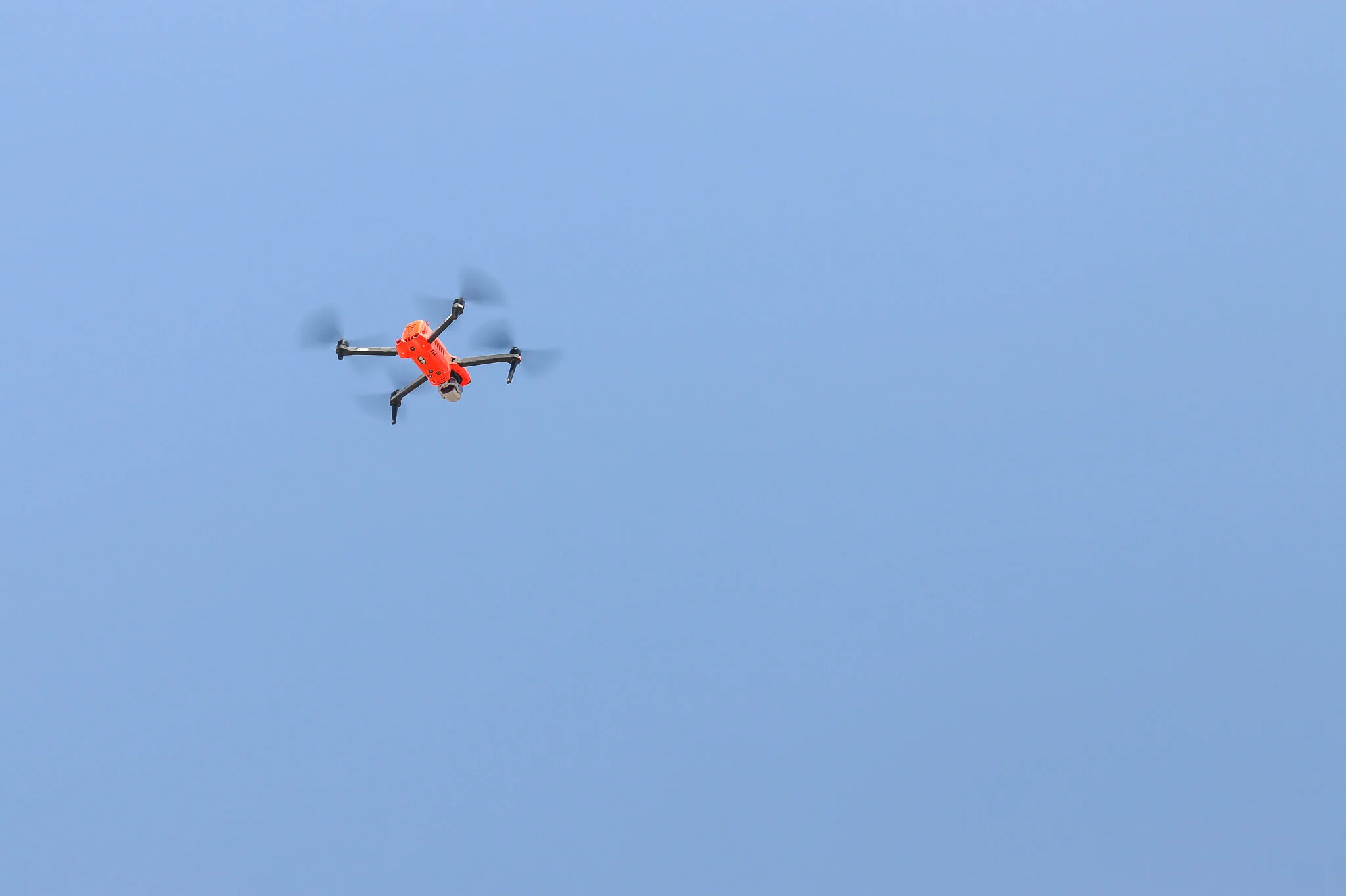
Aerial Drone Roof Inspections: An Overview + Cost Guide
An aerial UAV, or drone roof inspection is the safest and most cost-effective way to assess preventative maintenance needs and damage for insurance claims or...

Real Estate Aerial Photography Tips for Realtors
Photos are perhaps the most powerful tool in your arsenal for closing real estate deals. Photos reach out and grab the attention of the viewer in a way that words can't. But with most real estate agents offering professional photography as part of their package, how can you start standing out? You take it one step further and start offering real estate aerial photography with a drone.
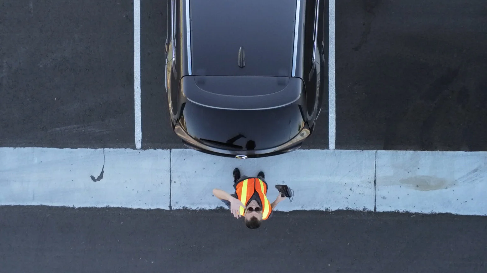
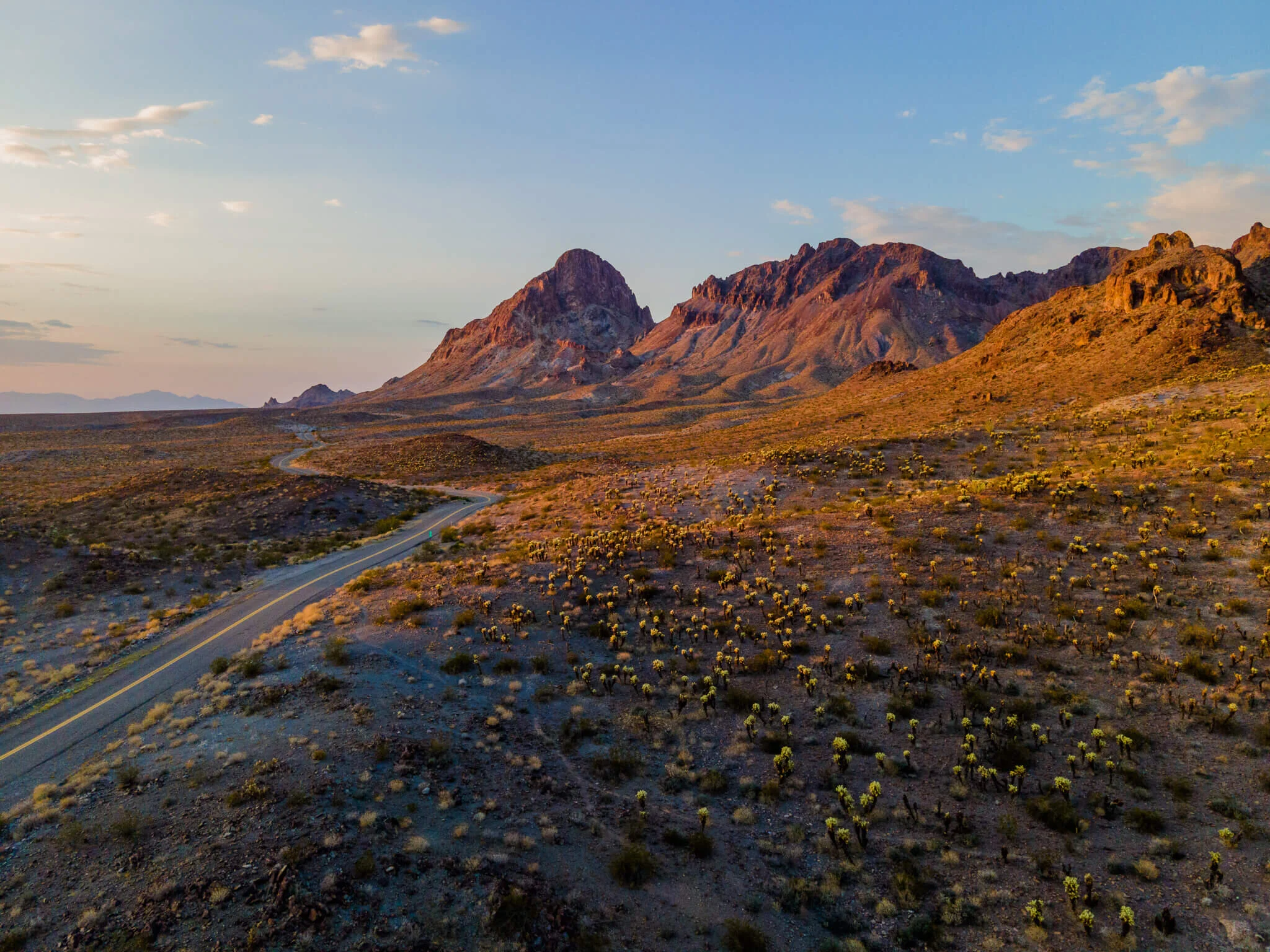
Meet Professional Las Vegas Drone Pilot: Christopher Kabat
Being from the Windy City, he’s naturally full of hot air. He prefers to travel by car, and only via two-lane county backroads. His bird is named after his drink of choice, his dog is named after a bird, and according to his voicemail, he works with International Super Spy Sterling Archer. Yeah, you read that right. He is Professional Las Vegas Drone Pilot Christopher Kabat, of ProAerial Media LLC (or PAM for short).
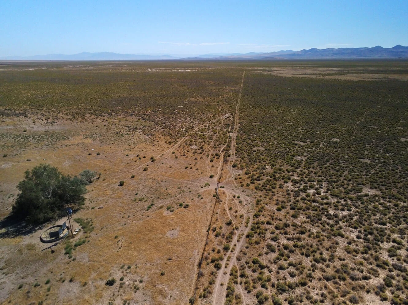
How To Sell Rural Vacant Land with Aerial Photos & Video
Residential and commercial Realtors, real estate companies, and property management businesses, all leverage aerial photography, and video in their real estate listings. But what about using aerial photos and video for rural vacant land sales?
In this article, we’ll be showing some of the services a commercial UAV pilot or aerial photographer can provide to realtors and those selling undeveloped land.
What Is Photogrammetry? (Answered In Under 100 Words)
Photogrammetry is the process of creating a digital representation of a place or object in reality, by collecting multiple photographs of the subject from varying vantage points and compiling those images together in specialized computer software.

What Is Drone Mapping Used For? Overview + Use-Cases
SO WHAT IS DRONE MAPPING USED FOR?
Just about anything that you could stand to have a better look at or view of. Drone surveying and mapping literally give you the ability to “see the big picture” — but perhaps the most important single thing a drone is used for is to ‘save time’.