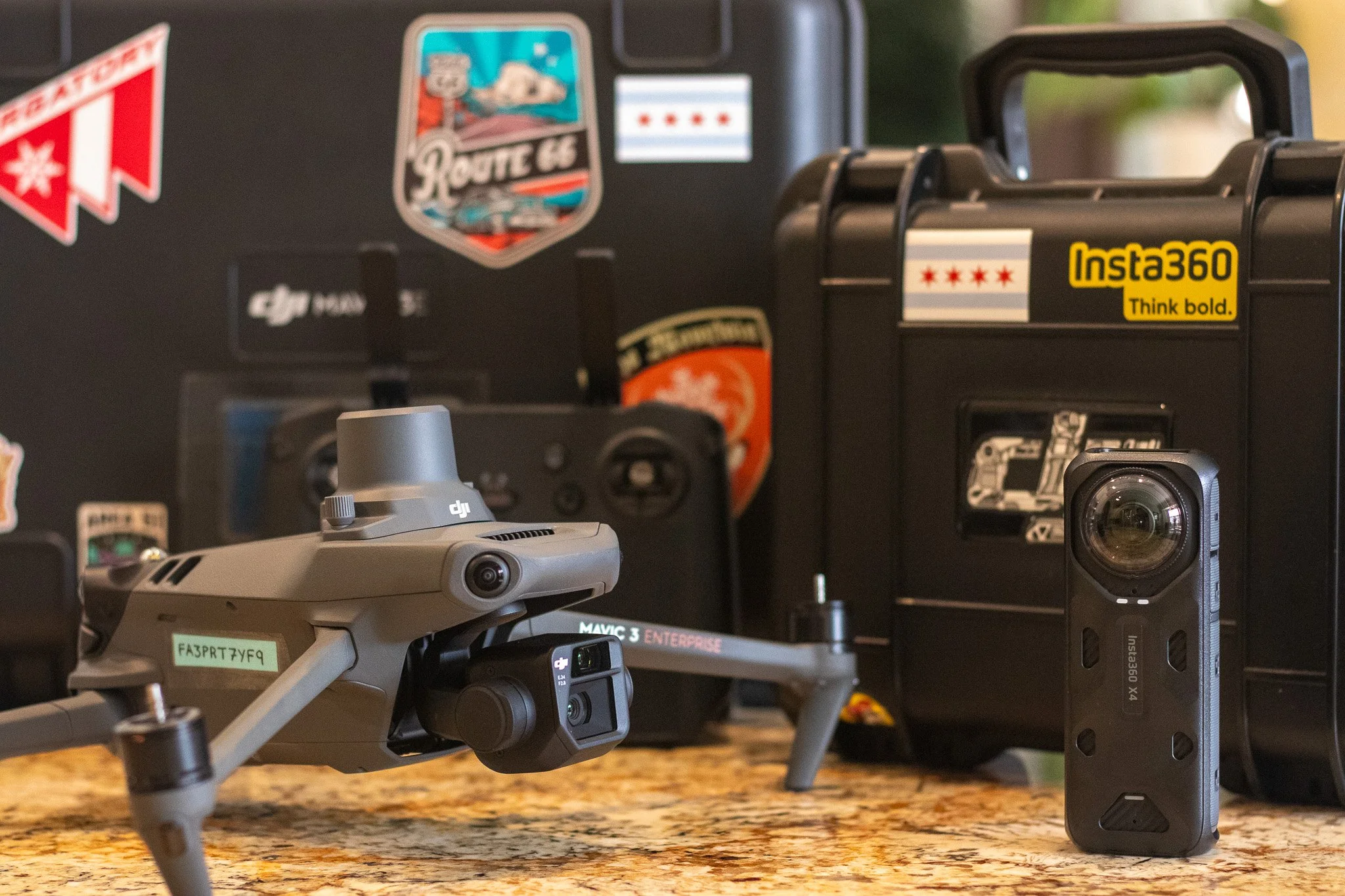
FAA Part 107 Licensed & Insured
AERIAL & TERRESTRIAL GEOSPATIAL REALITY CAPTURE
Precision Reality Capture, Inspection, & Remote Sensing Services
ProAerial Media (PAM) specializes in advanced reality capture and remote sensing, leveraging cutting-edge technology. Our comprehensive geospatial offerings include aerial mapping and surveying, inspections, progress monitoring, and precise volumetric calculations with industry-leading tools from DJI and DroneDeploy.
We provide these professional, fully licensed, and insured services, along with traditional aerial photography and videography, nationwide, consistently ensuring the delivery of accurate, reliable, and timely data to effectively support and enhance any diverse project requirements.

What Is Reality Capture?
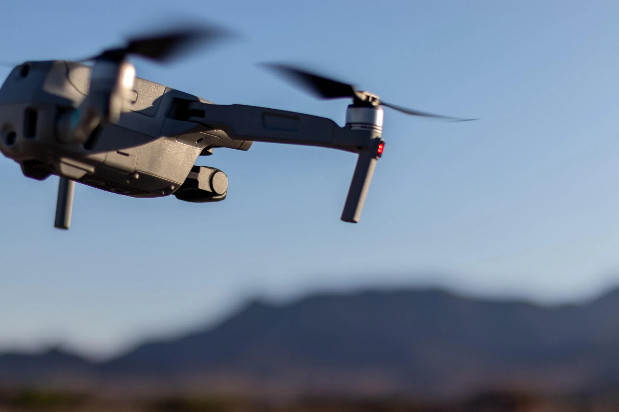
Reality Capture employs an array of cutting-edge imaging technologies, including unmanned aerial vehicles (drones) and spherical 360-degree cameras, as well as robots and stationary cameras, to comprehensively document an area of interest (AoI), such as an active construction site.
This meticulous process culminates in the creation of a highly accurate digital representation, often referred to as a "digital twin," of the physical site. Digital Twins serve as an invaluable tool, empowering stakeholders with the capability to remotely view, rigorously inspect, and efficiently manage the project from anywhere in the world. The benefits extend to improved collaboration, enhanced decision-making, increased safety, and a significant reduction in the need for costly and time-consuming on-site visits.
KEY SERVICE OFFERINGS
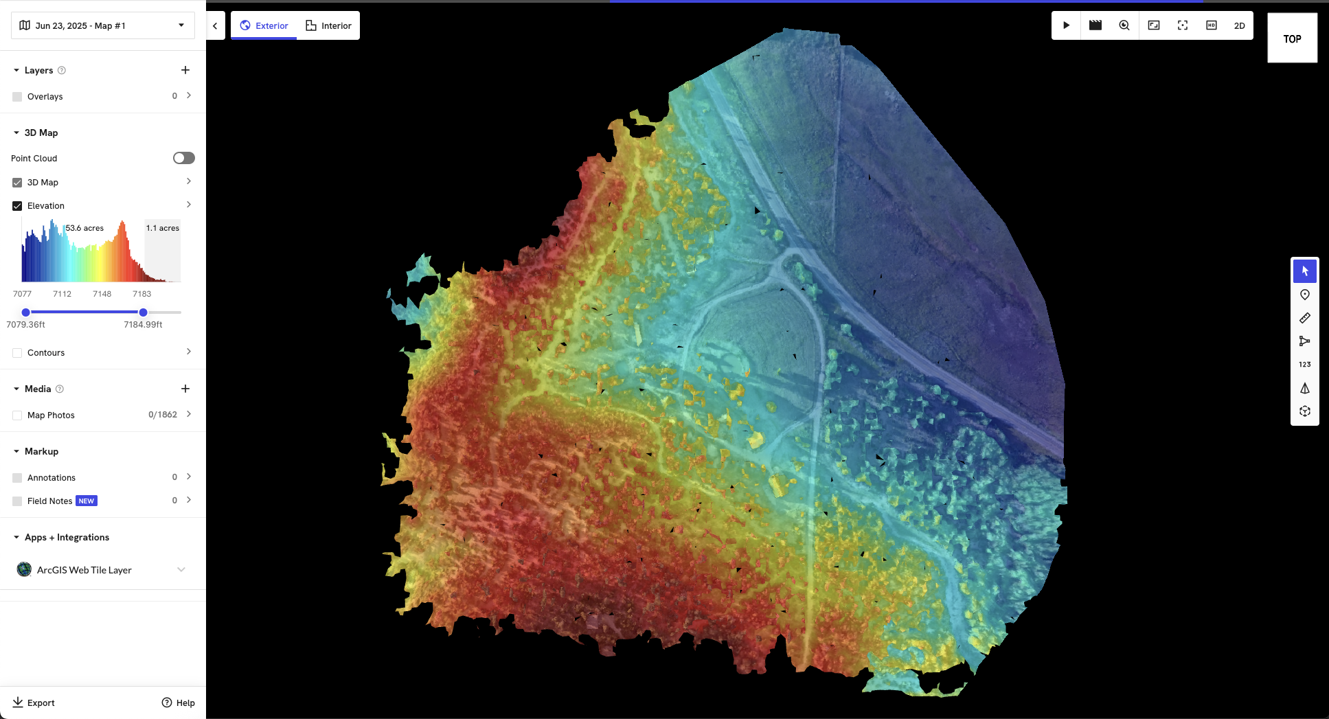
RTK Drone Mapping & Surveying
Generating precise 2D maps and 3D models for construction, land development, agriculture, and environmental organizations.
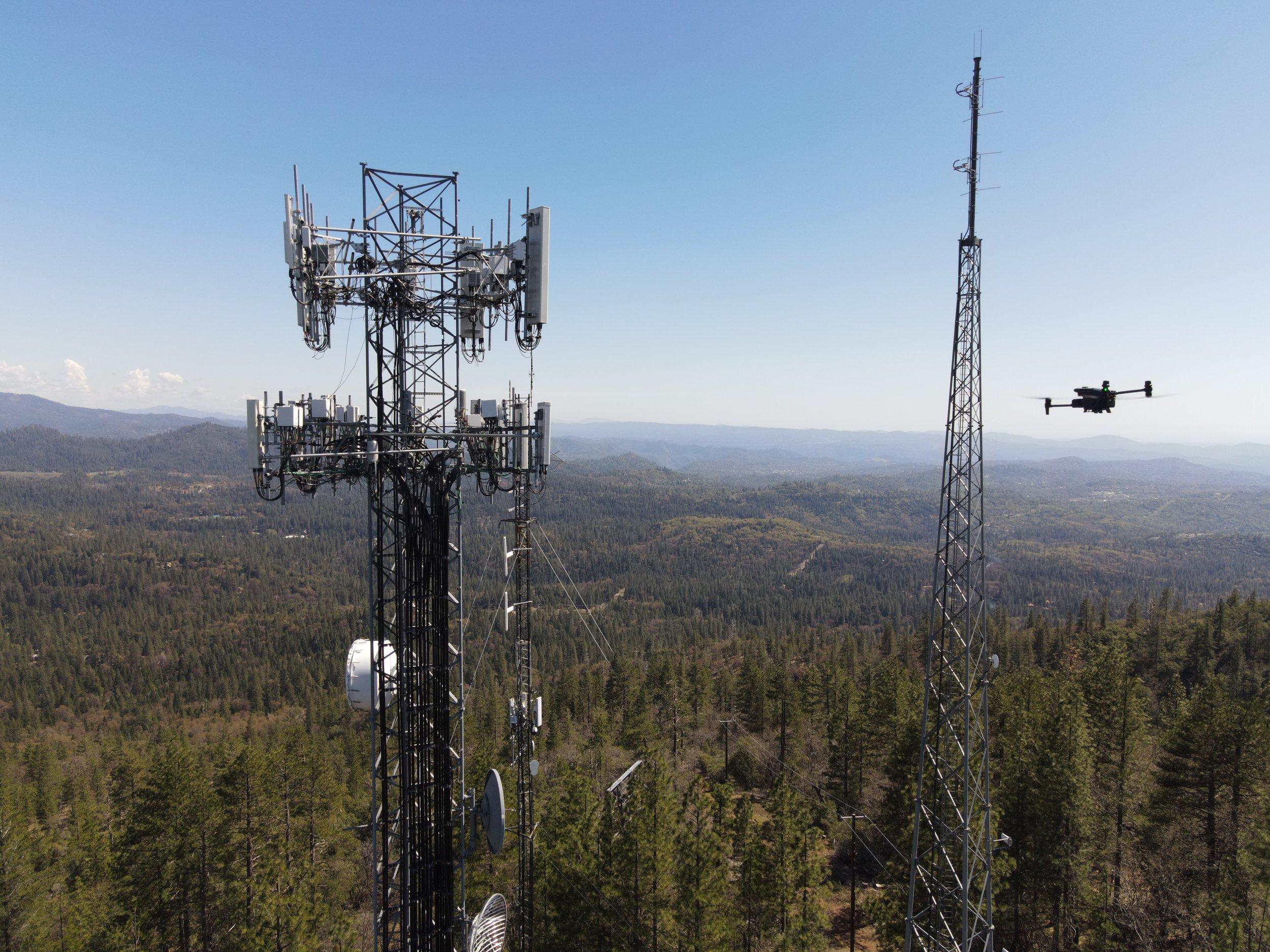
Building & Infrastructure Inspection Services
Performing detailed visual inspections of hard-to-reach infrastructure, real estate, utilities, and industrial assets.

Construction Progress Monitoring
Documenting interior and exterior construction project timelines, changes, and issues from the air and ground.
Enterprise sUAS Consulting
Assistance with mission planning, airspace authorizations, regulatory compliance, data interpretation, and integrating geospatial data into existing workflows.
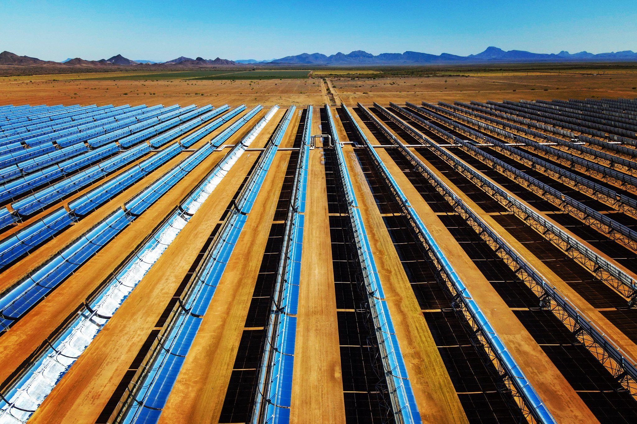
Industries Served
-
Project managers, site superintendents, and development companies seeking progress tracking, as-built documentation, and site analysis.
-
Utilities, transportation departments, and maintenance companies needing inspection services for bridges, power lines, pipelines, etc.
-
Farmers and agronomists requiring crop health analysis, yield estimation, and irrigation planning.
-
Operations managers and engineers requiring stockpile volumetric calculations and site mapping.
-
Adjusters and companies needing rapid damage assessment and claims documentation after storms.
-
Developers and real estate professionals looking for aerial photography, site planning, property assessments, and virtual tours.
NOW AVAILABLE
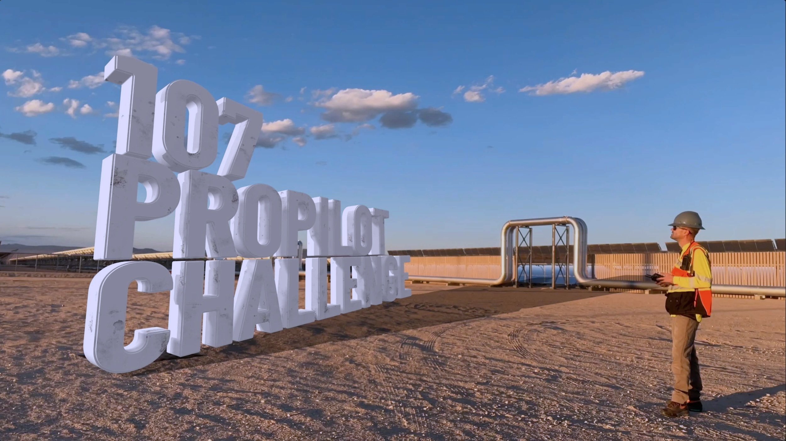
The 8-week ProPilot Challenge
Pass your Part 107 Aeronautical Knowledge Exam & become a Professional Drone Pilot!

Historical Preservation
Cultural and Historical Sites can benefit from (and even monetize) the use of aerial photogrammetry as part of their preservation efforts.

The global construction industry, a vital foundation of development, is continuously evolving. It consistently seeks innovative methods to boost efficiency, improve accuracy, and foster seamless collaboration. This ongoing pursuit has led to a truly transformative process that is reshaping the industry. Precision Unified Reality Capture.